Static Map Catalogue - Full Metadata Record
Collection GEOSAT
GEOSAT ESA archive. More details here.
DE2_OPER_HRA_PSH_1C_20210219T085540_N42-002_E021-058_0001
Download Product | Browse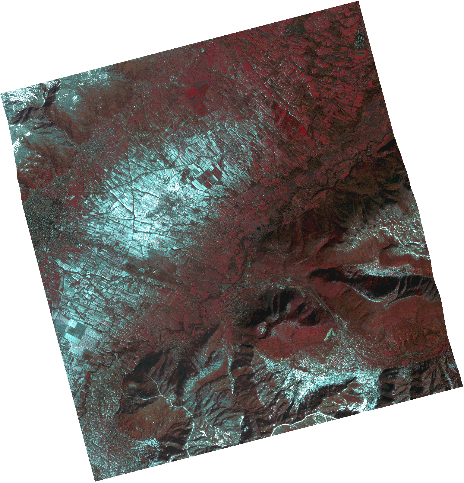
Start Date | 2021-02-19T08:55:40Z |
Stop Date | 2021-02-19T08:55:43Z |
Availability Time | 2021-02-19T08:55:43Z |
Instrument Short Name | HiRAIS |
Sensor Type | OPTICAL |
Operational mode | PSH |
Resolution | 1.0 |
Orbit | 36153 |
Satellite | GEOSAT-2 |
Product type | HRA_PSH_1C |
Orbit Direction | ASCENDING |
Scene Centre Longitude | |
Scene Centre Latitude | |
Illumination Azimuth Angle | 147.022287719 |
Illumination Elevation Angle | 30.7562 |
Footprint | 41.953871 21.162111 42.081423 21.11661 42.050287 20.954835 41.922735 21.000336 41.953871 21.162111 |
Product Size | 1411548012 |
Cloud Cover Percentage | 0 |
Acquisition Type | NOMINAL |
Bounding Box | 42.081423 20.954835 41.922735 20.954835 41.922735 21.162111 42.081423 21.162111 42.081423 20.954835 |
Original name | DE2_PSH_L1C_000000_20210219T085540_20210219T085543_DE2_36153_1792.zip |