Static Map Catalogue - Full Metadata Record
Collection GEOSAT
GEOSAT ESA archive. More details here.
DE2_OPER_HRA_PSH_1C_20210219T085538_N41-886_E021-101_0001
Download Product | Browse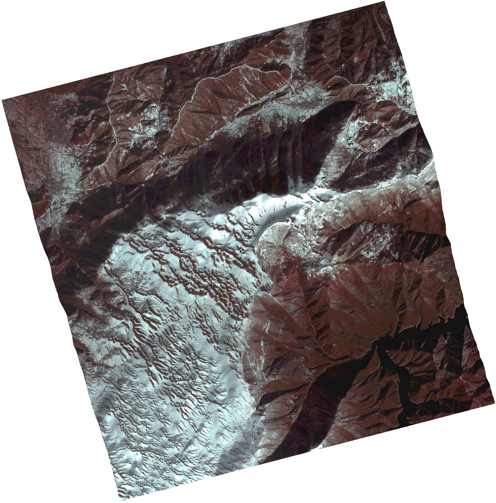
Start Date | 2021-02-19T08:55:38Z |
Stop Date | 2021-02-19T08:55:41Z |
Availability Time | 2021-02-19T08:55:41Z |
Instrument Short Name | HiRAIS |
Sensor Type | OPTICAL |
Operational mode | PSH |
Resolution | 1.0 |
Orbit | 36153 |
Satellite | GEOSAT-2 |
Product type | HRA_PSH_1C |
Orbit Direction | ASCENDING |
Scene Centre Longitude | |
Scene Centre Latitude | |
Illumination Azimuth Angle | 147.019177297 |
Illumination Elevation Angle | 30.866799999999998 |
Footprint | 41.838458 21.205413 41.965581 21.157138 41.934554 20.996598 41.807431 21.044873 41.838458 21.205413 |
Product Size | 1469084366 |
Cloud Cover Percentage | 0 |
Acquisition Type | NOMINAL |
Bounding Box | 41.965581 20.996598 41.807431 20.996598 41.807431 21.205413 41.965581 21.205413 41.965581 20.996598 |
Original name | DE2_PSH_L1C_000000_20210219T085538_20210219T085541_DE2_36153_53C7.zip |