Static Map Catalogue - Full Metadata Record
Collection GEOSAT
GEOSAT ESA archive. More details here.
DE2_OPER_HRA_PSH_1C_20210125T085217_N42-097_E020-906_0001
Download Product | Browse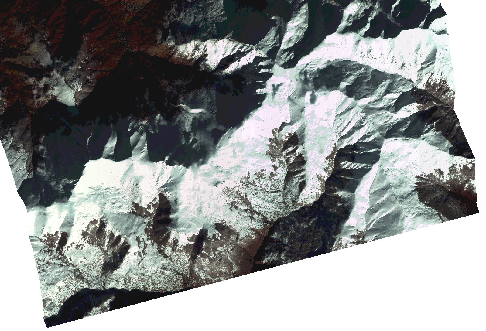
Start Date | 2021-01-25T08:52:17Z |
Stop Date | 2021-01-25T08:52:19Z |
Availability Time | 2021-01-25T08:52:19Z |
Instrument Short Name | HiRAIS |
Sensor Type | OPTICAL |
Operational mode | PSH |
Resolution | 1.0 |
Orbit | 35782 |
Satellite | GEOSAT-2 |
Product type | HRA_PSH_1C |
Orbit Direction | ASCENDING |
Scene Centre Longitude | |
Scene Centre Latitude | |
Illumination Azimuth Angle | 149.895477329 |
Illumination Elevation Angle | 23.325999999999993 |
Footprint | 42.046013 21.007576 42.148354 21.007589 42.14819 20.805725 42.045849 20.806037 42.046013 21.007576 |
Product Size | 1052749803 |
Cloud Cover Percentage | 0 |
Acquisition Type | NOMINAL |
Bounding Box | 42.148354 20.805725 42.045849 20.805725 42.045849 21.007589 42.148354 21.007589 42.148354 20.805725 |
Original name | DE2_PSH_L1C_000000_20210125T085217_20210125T085219_DE2_35782_D05D.zip |