Static Map Catalogue - Full Metadata Record
Collection GEOSAT
GEOSAT ESA archive. More details here.
DE2_OPER_HRA_PSH_1C_20210125T085215_N42-010_E020-935_0001
Download Product | Browse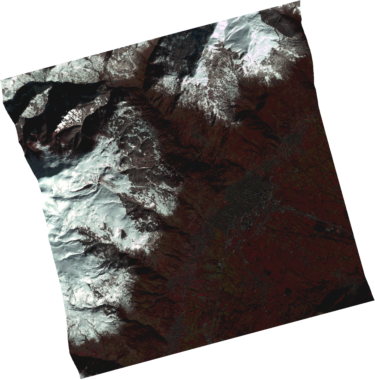
Start Date | 2021-01-25T08:52:15Z |
Stop Date | 2021-01-25T08:52:17Z |
Availability Time | 2021-01-25T08:52:17Z |
Instrument Short Name | HiRAIS |
Sensor Type | OPTICAL |
Operational mode | PSH |
Resolution | 1.0 |
Orbit | 35782 |
Satellite | GEOSAT-2 |
Product type | HRA_PSH_1C |
Orbit Direction | ASCENDING |
Scene Centre Longitude | |
Scene Centre Latitude | |
Illumination Azimuth Angle | 149.904461792 |
Illumination Elevation Angle | 23.4452 |
Footprint | 41.924881 21.048471 42.095638 21.048601 42.09551 20.822235 41.924754 20.82271 41.924881 21.048471 |
Product Size | 1628158901 |
Cloud Cover Percentage | 0 |
Acquisition Type | NOMINAL |
Bounding Box | 42.095638 20.822235 41.924754 20.822235 41.924754 21.048601 42.095638 21.048601 42.095638 20.822235 |
Original name | DE2_PSH_L1C_000000_20210125T085215_20210125T085217_DE2_35782_AB82.zip |