Static Map Catalogue - Full Metadata Record
Collection GEOSAT
GEOSAT ESA archive. More details here.
DE2_OPER_HRA_PSH_1C_20210125T085213_N41-887_E020-981_0001
Download Product | Browse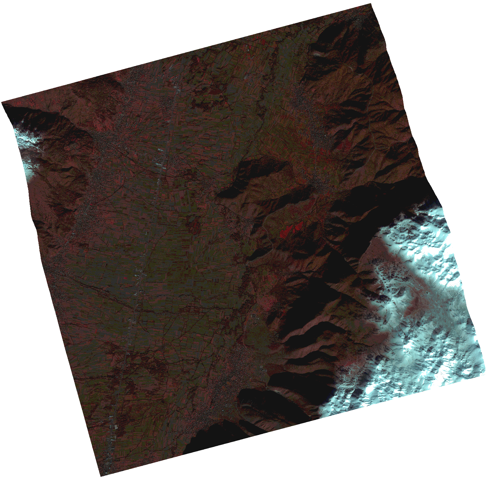
Start Date | 2021-01-25T08:52:13Z |
Stop Date | 2021-01-25T08:52:15Z |
Availability Time | 2021-01-25T08:52:15Z |
Instrument Short Name | HiRAIS |
Sensor Type | OPTICAL |
Operational mode | PSH |
Resolution | 1.0 |
Orbit | 35782 |
Satellite | GEOSAT-2 |
Product type | HRA_PSH_1C |
Orbit Direction | ASCENDING |
Scene Centre Longitude | |
Scene Centre Latitude | |
Illumination Azimuth Angle | 149.913138864 |
Illumination Elevation Angle | 23.564099999999996 |
Footprint | 41.802428 21.097733 41.973188 21.097994 41.97315 20.86453 41.80239 20.864891 41.802428 21.097733 |
Product Size | 1617212781 |
Cloud Cover Percentage | 0 |
Acquisition Type | NOMINAL |
Bounding Box | 41.973188 20.86453 41.80239 20.86453 41.80239 21.097994 41.973188 21.097994 41.973188 20.86453 |
Original name | DE2_PSH_L1C_000000_20210125T085213_20210125T085215_DE2_35782_6A78.zip |