Static Map Catalogue - Full Metadata Record
Collection GEOSAT
GEOSAT ESA archive. More details here.
DE2_OPER_HRA_PSH_1C_20210125T085211_N41-766_E021-022_0001
Download Product | Browse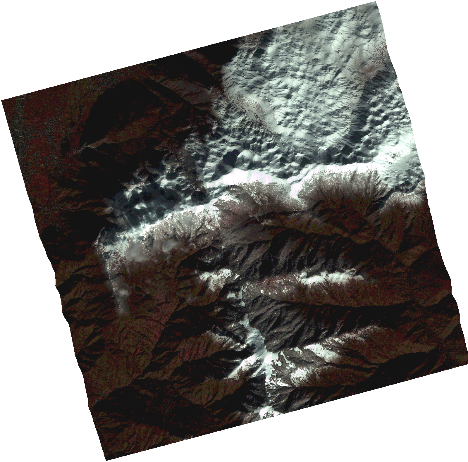
Start Date | 2021-01-25T08:52:11Z |
Stop Date | 2021-01-25T08:52:13Z |
Availability Time | 2021-01-25T08:52:13Z |
Instrument Short Name | HiRAIS |
Sensor Type | OPTICAL |
Operational mode | PSH |
Resolution | 1.0 |
Orbit | 35782 |
Satellite | GEOSAT-2 |
Product type | HRA_PSH_1C |
Orbit Direction | ASCENDING |
Scene Centre Longitude | |
Scene Centre Latitude | |
Illumination Azimuth Angle | 149.921540216 |
Illumination Elevation Angle | 23.683000000000007 |
Footprint | 41.681259 21.138592 41.852455 21.138961 41.852501 20.907094 41.681305 20.907341 41.681259 21.138592 |
Product Size | 1704811892 |
Cloud Cover Percentage | 0 |
Acquisition Type | NOMINAL |
Bounding Box | 41.852501 20.907094 41.681259 20.907094 41.681259 21.138961 41.852501 21.138961 41.852501 20.907094 |
Original name | DE2_PSH_L1C_000000_20210125T085211_20210125T085213_DE2_35782_0075.zip |