Static Map Catalogue - Full Metadata Record
Collection GEOSAT
GEOSAT ESA archive. More details here.
DE2_OPER_HRA_PSH_1C_20210125T085209_N41-676_E021-006_0001
Download Product | Browse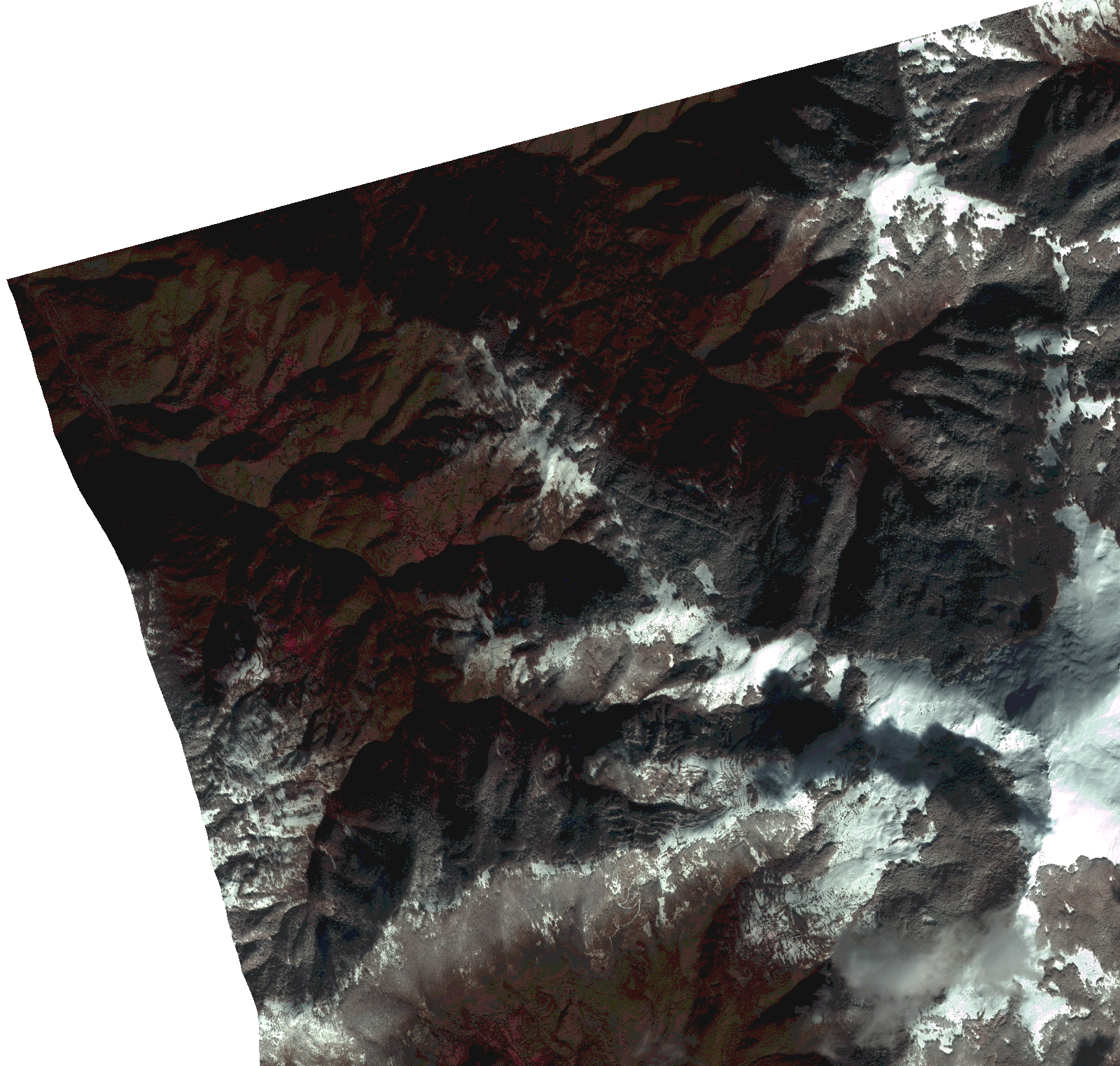
Start Date | 2021-01-25T08:52:09Z |
Stop Date | 2021-01-25T08:52:11Z |
Availability Time | 2021-01-25T08:52:11Z |
Instrument Short Name | HiRAIS |
Sensor Type | OPTICAL |
Operational mode | PSH |
Resolution | 1.0 |
Orbit | 35782 |
Satellite | GEOSAT-2 |
Product type | HRA_PSH_1C |
Orbit Direction | ASCENDING |
Scene Centre Longitude | |
Scene Centre Latitude | |
Illumination Azimuth Angle | 149.929629856 |
Illumination Elevation Angle | 23.801900000000003 |
Footprint | 41.638417 21.05911 41.713636 21.059179 41.713642 20.953743 41.638423 20.953797 41.638417 21.05911 |
Product Size | 405386804 |
Cloud Cover Percentage | 0 |
Acquisition Type | NOMINAL |
Bounding Box | 41.713642 20.953743 41.638417 20.953743 41.638417 21.059179 41.713642 21.059179 41.713642 20.953743 |
Original name | DE2_PSH_L1C_000000_20210125T085209_20210125T085211_DE2_35782_1FA7.zip |