Static Map Catalogue - Full Metadata Record
Collection GEOSAT
GEOSAT ESA archive. More details here.
DE2_OPER_HRA_PSH_1C_20210120T091046_N42-025_E020-767_0001
Download Product | Browse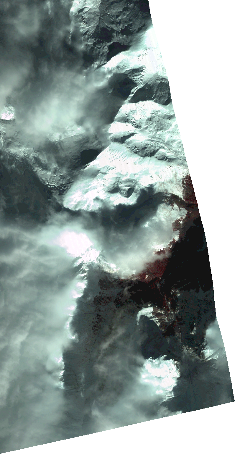
Start Date | 2021-01-20T09:10:46Z |
Stop Date | 2021-01-20T09:10:48Z |
Availability Time | 2021-01-20T09:10:48Z |
Instrument Short Name | HiRAIS |
Sensor Type | OPTICAL |
Operational mode | PSH |
Resolution | 1.0 |
Orbit | 35708 |
Satellite | GEOSAT-2 |
Product type | HRA_PSH_1C |
Orbit Direction | ASCENDING |
Scene Centre Longitude | |
Scene Centre Latitude | |
Illumination Azimuth Angle | 154.90800741 |
Illumination Elevation Angle | 23.951099999999997 |
Footprint | 41.983901 20.795494 42.066897 20.795228 42.066782 20.738526 41.983786 20.738866 41.983901 20.795494 |
Product Size | 236719374 |
Cloud Cover Percentage | 0 |
Acquisition Type | NOMINAL |
Bounding Box | 42.066897 20.738526 41.983786 20.738526 41.983786 20.795494 42.066897 20.795494 42.066897 20.738526 |
Original name | DE2_PSH_L1C_000000_20210120T091046_20210120T091048_DE2_35708_B085.zip |