Static Map Catalogue - Full Metadata Record
Collection GEOSAT
GEOSAT ESA archive. More details here.
DE2_OPER_HRA_PSH_1C_20210120T091044_N41-933_E020-736_0001
Download Product | Browse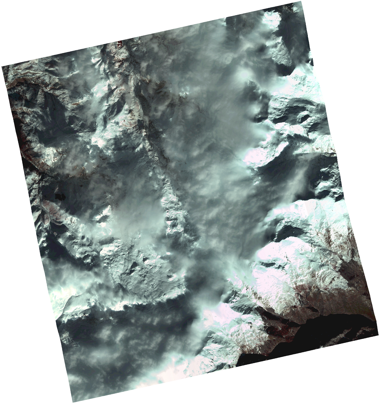
Start Date | 2021-01-20T09:10:44Z |
Stop Date | 2021-01-20T09:10:46Z |
Availability Time | 2021-01-20T09:10:46Z |
Instrument Short Name | HiRAIS |
Sensor Type | OPTICAL |
Operational mode | PSH |
Resolution | 1.0 |
Orbit | 35708 |
Satellite | GEOSAT-2 |
Product type | HRA_PSH_1C |
Orbit Direction | ASCENDING |
Scene Centre Longitude | |
Scene Centre Latitude | |
Illumination Azimuth Angle | 154.912091967 |
Illumination Elevation Angle | 24.061400000000006 |
Footprint | 41.858656 20.830351 42.00823 20.829954 42.007797 20.641579 41.858224 20.642415 41.858656 20.830351 |
Product Size | 1317369745 |
Cloud Cover Percentage | 0 |
Acquisition Type | NOMINAL |
Bounding Box | 42.00823 20.641579 41.858224 20.641579 41.858224 20.830351 42.00823 20.830351 42.00823 20.641579 |
Original name | DE2_PSH_L1C_000000_20210120T091044_20210120T091046_DE2_35708_0DD5.zip |