Static Map Catalogue - Full Metadata Record
Collection GEOSAT
GEOSAT ESA archive. More details here.
DE2_OPER_HRA_PSH_1C_20210120T091042_N41-820_E020-769_0001
Download Product | Browse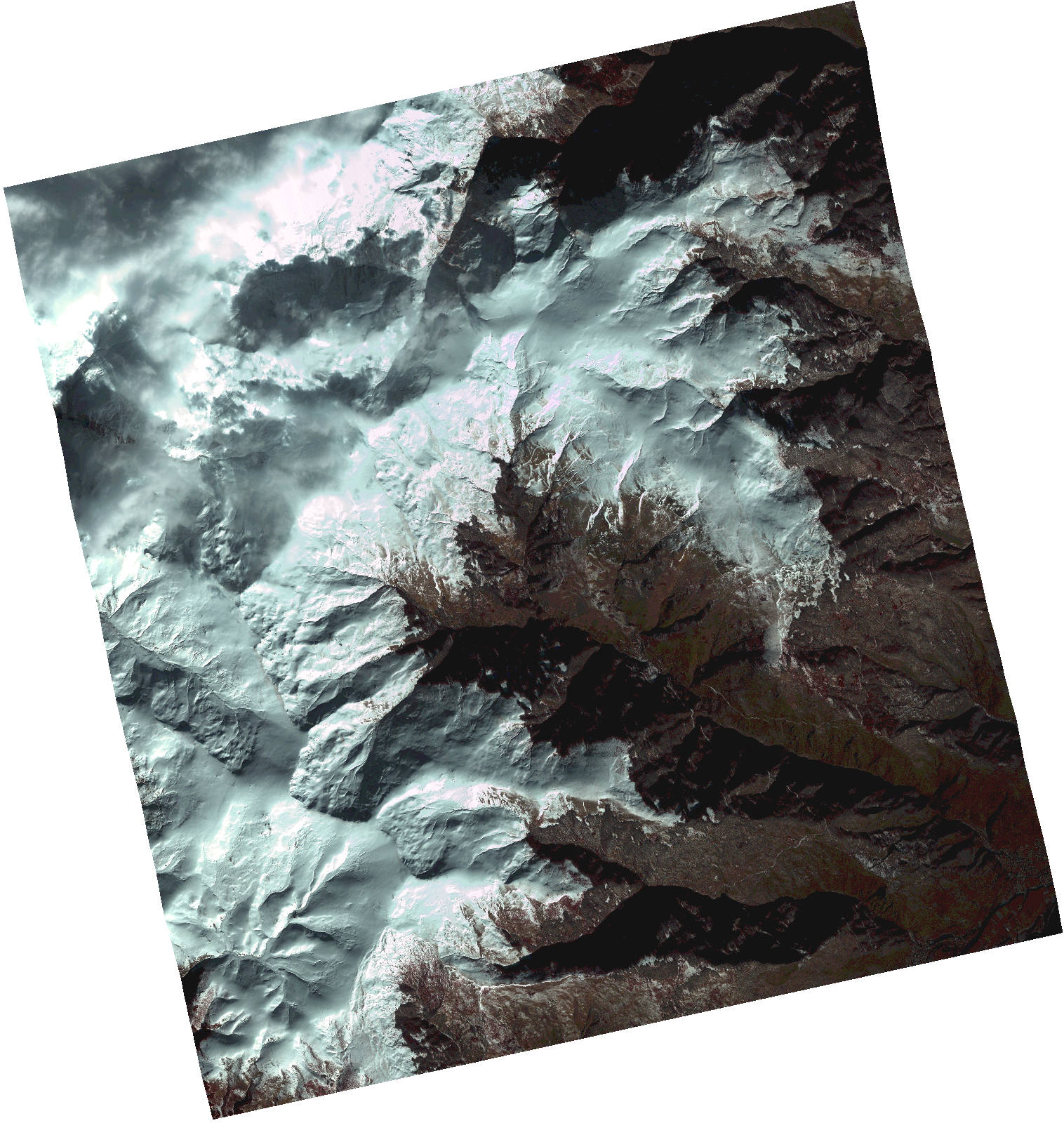
Start Date | 2021-01-20T09:10:42Z |
Stop Date | 2021-01-20T09:10:44Z |
Availability Time | 2021-01-20T09:10:44Z |
Instrument Short Name | HiRAIS |
Sensor Type | OPTICAL |
Operational mode | PSH |
Resolution | 1.0 |
Orbit | 35708 |
Satellite | GEOSAT-2 |
Product type | HRA_PSH_1C |
Orbit Direction | ASCENDING |
Scene Centre Longitude | |
Scene Centre Latitude | |
Illumination Azimuth Angle | 154.916107755 |
Illumination Elevation Angle | 24.171599999999998 |
Footprint | 41.771415 20.864564 41.895493 20.826627 41.87022 20.674761 41.746142 20.712699 41.771415 20.864564 |
Product Size | 1329278344 |
Cloud Cover Percentage | 0 |
Acquisition Type | NOMINAL |
Bounding Box | 41.895493 20.674761 41.746142 20.674761 41.746142 20.864564 41.895493 20.864564 41.895493 20.674761 |
Original name | DE2_PSH_L1C_000000_20210120T091042_20210120T091044_DE2_35708_5C0F.zip |