Static Map Catalogue - Full Metadata Record
Collection GEOSAT
GEOSAT ESA archive. More details here.
DE2_OPER_HRA_PSH_1C_20210120T091040_N41-708_E020-803_0001
Download Product | Browse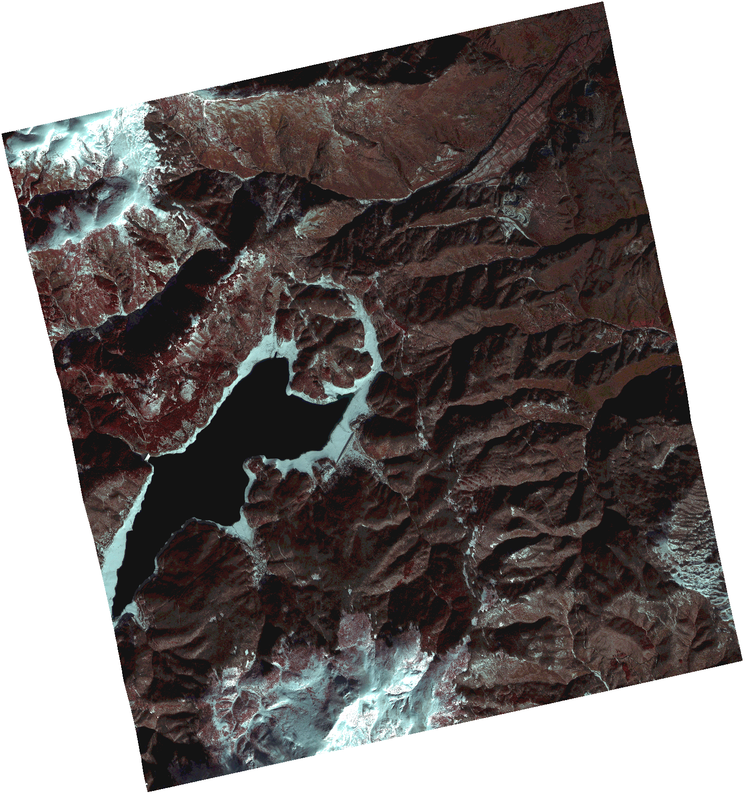
Start Date | 2021-01-20T09:10:40Z |
Stop Date | 2021-01-20T09:10:42Z |
Availability Time | 2021-01-20T09:10:42Z |
Instrument Short Name | HiRAIS |
Sensor Type | OPTICAL |
Operational mode | PSH |
Resolution | 1.0 |
Orbit | 35708 |
Satellite | GEOSAT-2 |
Product type | HRA_PSH_1C |
Orbit Direction | ASCENDING |
Scene Centre Longitude | |
Scene Centre Latitude | |
Illumination Azimuth Angle | 154.919922128 |
Illumination Elevation Angle | 24.281899999999993 |
Footprint | 41.658567 20.897291 41.78287 20.860767 41.757706 20.709848 41.633403 20.746373 41.658567 20.897291 |
Product Size | 1265915217 |
Cloud Cover Percentage | 0 |
Acquisition Type | NOMINAL |
Bounding Box | 41.78287 20.709848 41.633403 20.709848 41.633403 20.897291 41.78287 20.897291 41.78287 20.709848 |
Original name | DE2_PSH_L1C_000000_20210120T091040_20210120T091042_DE2_35708_82B1.zip |