Static Map Catalogue - Full Metadata Record
Collection GEOSAT
GEOSAT ESA archive. More details here.
DE2_OPER_HRA_PSH_1C_20210120T091038_N41-591_E020-794_0001
Download Product | Browse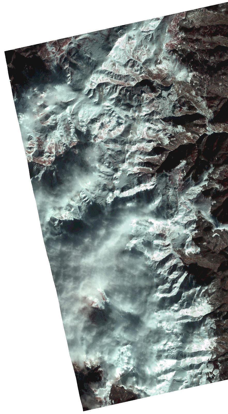
Start Date | 2021-01-20T09:10:38Z |
Stop Date | 2021-01-20T09:10:41Z |
Availability Time | 2021-01-20T09:10:41Z |
Instrument Short Name | HiRAIS |
Sensor Type | OPTICAL |
Operational mode | PSH |
Resolution | 1.0 |
Orbit | 35708 |
Satellite | GEOSAT-2 |
Product type | HRA_PSH_1C |
Orbit Direction | ASCENDING |
Scene Centre Longitude | |
Scene Centre Latitude | |
Illumination Azimuth Angle | 154.92354829 |
Illumination Elevation Angle | 24.391999999999996 |
Footprint | 41.520083 20.847442 41.662965 20.847105 41.662777 20.742041 41.519896 20.742609 41.520083 20.847442 |
Product Size | 768691522 |
Cloud Cover Percentage | 0 |
Acquisition Type | NOMINAL |
Bounding Box | 41.662965 20.742041 41.519896 20.742041 41.519896 20.847442 41.662965 20.847442 41.662965 20.742041 |
Original name | DE2_PSH_L1C_000000_20210120T091038_20210120T091041_DE2_35708_4CD7.zip |