Static Map Catalogue - Full Metadata Record
Collection GEOSAT
GEOSAT ESA archive. More details here.
DE2_OPER_HRA_PSH_1C_20210120T091036_N41-519_E020-791_0001
Download Product | Browse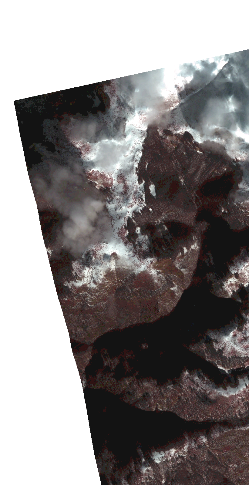
Start Date | 2021-01-20T09:10:36Z |
Stop Date | 2021-01-20T09:10:39Z |
Availability Time | 2021-01-20T09:10:39Z |
Instrument Short Name | HiRAIS |
Sensor Type | OPTICAL |
Operational mode | PSH |
Resolution | 1.0 |
Orbit | 35708 |
Satellite | GEOSAT-2 |
Product type | HRA_PSH_1C |
Orbit Direction | ASCENDING |
Scene Centre Longitude | |
Scene Centre Latitude | |
Illumination Azimuth Angle | 154.927061687 |
Illumination Elevation Angle | 24.502399999999994 |
Footprint | 41.496782 20.806666 41.541846 20.806532 41.54179 20.775756 41.496726 20.775911 41.496782 20.806666 |
Product Size | 62804898 |
Cloud Cover Percentage | 0 |
Acquisition Type | NOMINAL |
Bounding Box | 41.541846 20.775756 41.496726 20.775756 41.496726 20.806666 41.541846 20.806666 41.541846 20.775756 |
Original name | DE2_PSH_L1C_000000_20210120T091036_20210120T091039_DE2_35708_8981.zip |