Static Map Catalogue - Full Metadata Record
Collection GEOSAT
GEOSAT ESA archive. More details here.
DE2_OPER_HRA_PSH_1C_20210118T083947_N42-059_E021-119_0001
Download Product | Browse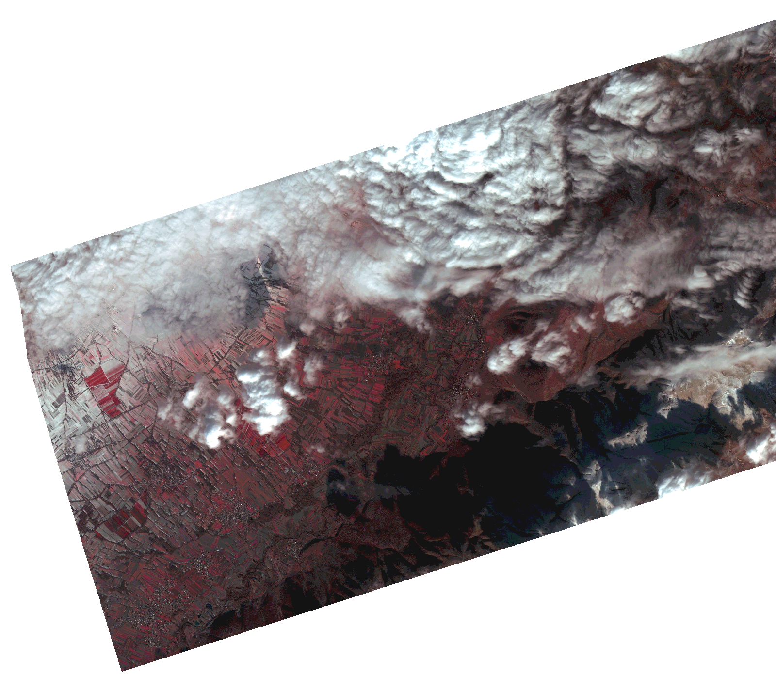
Start Date | 2021-01-18T08:39:47Z |
Stop Date | 2021-01-18T08:39:49Z |
Availability Time | 2021-01-18T08:39:49Z |
Instrument Short Name | HiRAIS |
Sensor Type | OPTICAL |
Operational mode | PSH |
Resolution | 1.0 |
Orbit | 35678 |
Satellite | GEOSAT-2 |
Product type | HRA_PSH_1C |
Orbit Direction | ASCENDING |
Scene Centre Longitude | |
Scene Centre Latitude | |
Illumination Azimuth Angle | 148.281154242 |
Illumination Elevation Angle | 20.793499999999995 |
Footprint | 41.992588 21.221702 42.125551 21.222165 42.125765 21.016744 41.992801 21.01671 41.992588 21.221702 |
Product Size | 1026890278 |
Cloud Cover Percentage | 0 |
Acquisition Type | NOMINAL |
Bounding Box | 42.125765 21.01671 41.992588 21.01671 41.992588 21.222165 42.125765 21.222165 42.125765 21.01671 |
Original name | DE2_PSH_L1C_000000_20210118T083947_20210118T083949_DE2_35678_2C7A.zip |