Static Map Catalogue - Full Metadata Record
Collection GEOSAT
GEOSAT ESA archive. More details here.
DE2_OPER_HRA_PSH_1C_20210118T083945_N41-946_E021-143_0001
Download Product | Browse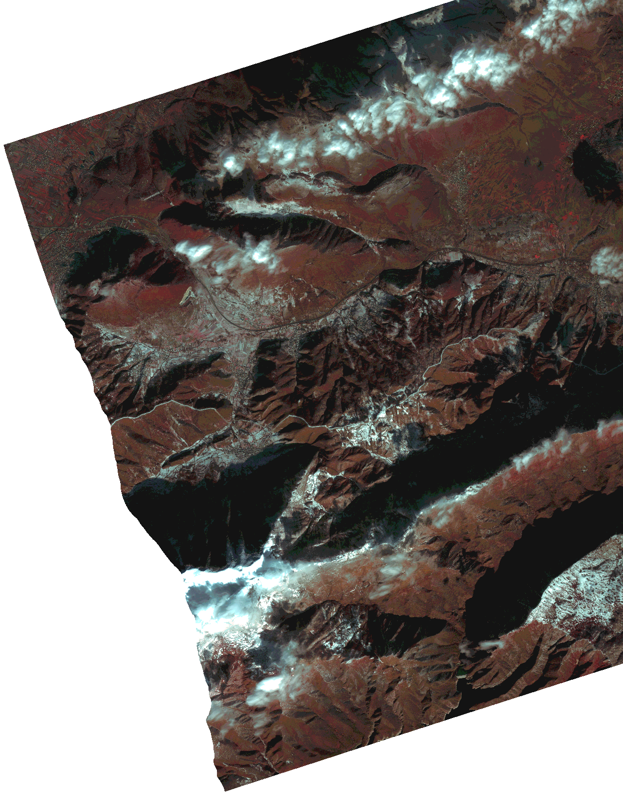
Start Date | 2021-01-18T08:39:45Z |
Stop Date | 2021-01-18T08:39:48Z |
Availability Time | 2021-01-18T08:39:48Z |
Instrument Short Name | HiRAIS |
Sensor Type | OPTICAL |
Operational mode | PSH |
Resolution | 1.0 |
Orbit | 35678 |
Satellite | GEOSAT-2 |
Product type | HRA_PSH_1C |
Orbit Direction | ASCENDING |
Scene Centre Longitude | |
Scene Centre Latitude | |
Illumination Azimuth Angle | 148.294420703 |
Illumination Elevation Angle | 20.896900000000002 |
Footprint | 41.848935 21.24578 42.043361 21.246528 42.043619 21.041807 41.84919 21.04168 41.848935 21.24578 |
Product Size | 1761578997 |
Cloud Cover Percentage | 0 |
Acquisition Type | NOMINAL |
Bounding Box | 42.043619 21.04168 41.848935 21.04168 41.848935 21.246528 42.043619 21.246528 42.043619 21.04168 |
Original name | DE2_PSH_L1C_000000_20210118T083945_20210118T083948_DE2_35678_DB84.zip |