Static Map Catalogue - Full Metadata Record
Collection GEOSAT
GEOSAT ESA archive. More details here.
DE2_OPER_HRA_PSH_1C_20210118T083942_N41-860_E021-178_0001
Download Product | Browse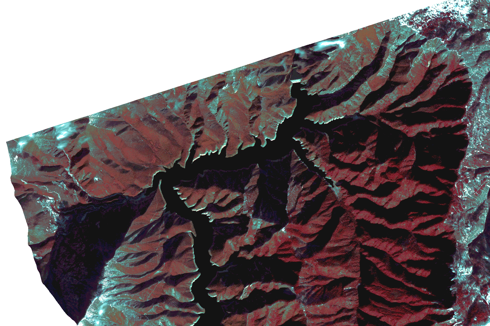
Start Date | 2021-01-18T08:39:42Z |
Stop Date | 2021-01-18T08:39:46Z |
Availability Time | 2021-01-18T08:39:46Z |
Instrument Short Name | HiRAIS |
Sensor Type | OPTICAL |
Operational mode | PSH |
Resolution | 1.0 |
Orbit | 35678 |
Satellite | GEOSAT-2 |
Product type | HRA_PSH_1C |
Orbit Direction | ASCENDING |
Scene Centre Longitude | |
Scene Centre Latitude | |
Illumination Azimuth Angle | 148.312562864 |
Illumination Elevation Angle | 21.040000000000006 |
Footprint | 41.825693 21.247281 41.894641 21.247546 41.894856 21.108832 41.825908 21.108715 41.825693 21.247281 |
Product Size | 440195732 |
Cloud Cover Percentage | 0 |
Acquisition Type | NOMINAL |
Bounding Box | 41.894856 21.108715 41.825693 21.108715 41.825693 21.247546 41.894856 21.247546 41.894856 21.108715 |
Original name | DE2_PSH_L1C_000000_20210118T083942_20210118T083946_DE2_35678_A9C1.zip |