Static Map Catalogue - Full Metadata Record
Collection GEOSAT
GEOSAT ESA archive. More details here.
DE2_OPER_HRA_PSH_1C_20210113T085807_N41-801_E021-024_0001
Download Product | Browse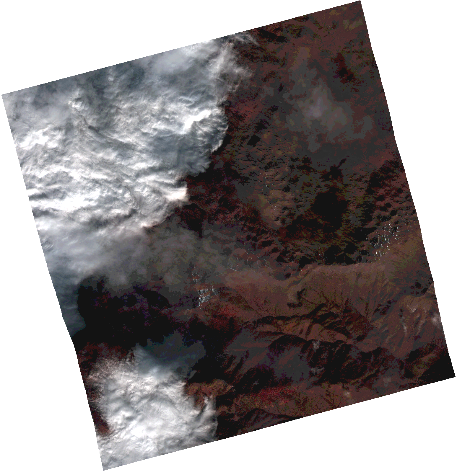
Start Date | 2021-01-13T08:58:07Z |
Stop Date | 2021-01-13T08:58:10Z |
Availability Time | 2021-01-13T08:58:10Z |
Instrument Short Name | HiRAIS |
Sensor Type | OPTICAL |
Operational mode | PSH |
Resolution | 1.0 |
Orbit | 35604 |
Satellite | GEOSAT-2 |
Product type | HRA_PSH_1C |
Orbit Direction | ASCENDING |
Scene Centre Longitude | |
Scene Centre Latitude | |
Illumination Azimuth Angle | 153.250606685 |
Illumination Elevation Angle | 22.133399999999995 |
Footprint | 41.721841 21.126128 41.880067 21.126439 41.880109 20.921661 41.721884 20.921854 41.721841 21.126128 |
Product Size | 1330824601 |
Cloud Cover Percentage | 0 |
Acquisition Type | NOMINAL |
Bounding Box | 41.880109 20.921661 41.721841 20.921661 41.721841 21.126439 41.880109 21.126439 41.880109 20.921661 |
Original name | DE2_PSH_L1C_000000_20210113T085807_20210113T085810_DE2_35604_742A.zip |