Static Map Catalogue - Full Metadata Record
Collection GEOSAT
GEOSAT ESA archive. More details here.
DE2_OPER_HRA_PSH_1C_20210102T091933_N41-809_E020-639_0001
Download Product | Browse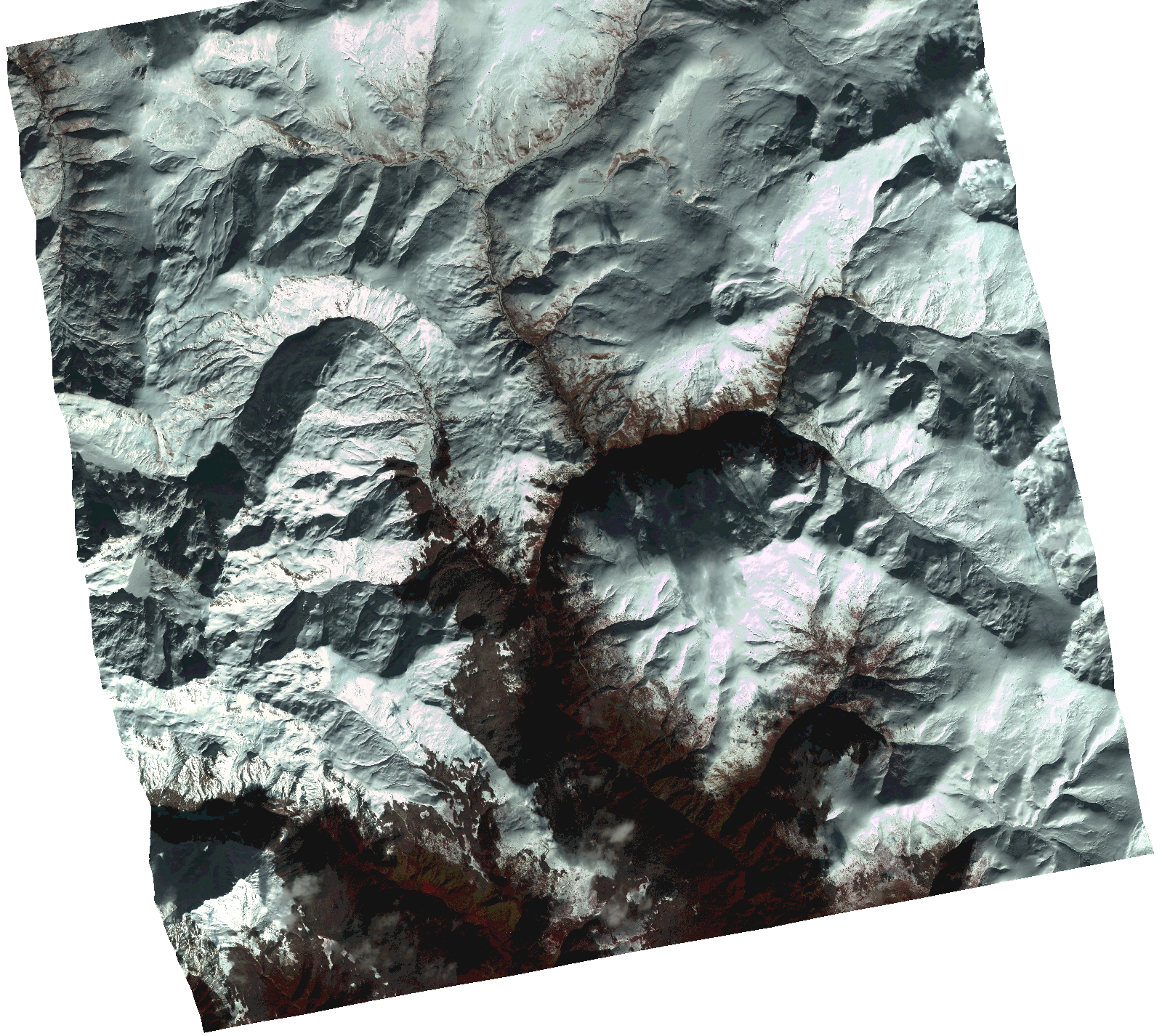
Start Date | 2021-01-02T09:19:33Z |
Stop Date | 2021-01-02T09:19:36Z |
Availability Time | 2021-01-02T09:19:36Z |
Instrument Short Name | HiRAIS |
Sensor Type | OPTICAL |
Operational mode | PSH |
Resolution | 1.0 |
Orbit | 35441 |
Satellite | GEOSAT-2 |
Product type | HRA_PSH_1C |
Orbit Direction | ASCENDING |
Scene Centre Longitude | |
Scene Centre Latitude | |
Illumination Azimuth Angle | 159.574915957 |
Illumination Elevation Angle | 22.5694 |
Footprint | 41.739786 20.745088 41.879708 20.744533 41.879049 20.534555 41.73913 20.535567 41.739786 20.745088 |
Product Size | 1569216289 |
Cloud Cover Percentage | 0 |
Acquisition Type | NOMINAL |
Bounding Box | 41.879708 20.534555 41.73913 20.534555 41.73913 20.745088 41.879708 20.745088 41.879708 20.534555 |
Original name | DE2_PSH_L1C_000000_20210102T091933_20210102T091936_DE2_35441_14D1.zip |