Static Map Catalogue - Full Metadata Record
Collection GEOSAT
GEOSAT ESA archive. More details here.
DE2_OPER_HRA_PSH_1C_20210102T091931_N41-697_E020-673_0001
Download Product | Browse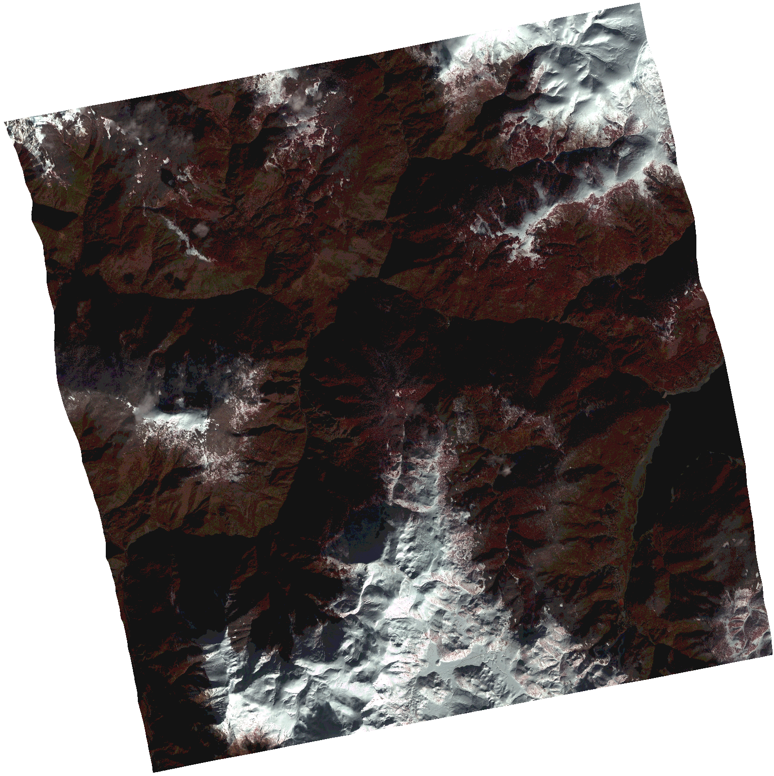
Start Date | 2021-01-02T09:19:31Z |
Stop Date | 2021-01-02T09:19:34Z |
Availability Time | 2021-01-02T09:19:34Z |
Instrument Short Name | HiRAIS |
Sensor Type | OPTICAL |
Operational mode | PSH |
Resolution | 1.0 |
Orbit | 35441 |
Satellite | GEOSAT-2 |
Product type | HRA_PSH_1C |
Orbit Direction | ASCENDING |
Scene Centre Longitude | |
Scene Centre Latitude | |
Illumination Azimuth Angle | 159.580277442 |
Illumination Elevation Angle | 22.688900000000004 |
Footprint | 41.643756 20.777286 41.77685 20.741296 41.752012 20.570283 41.618918 20.606273 41.643756 20.777286 |
Product Size | 1501530813 |
Cloud Cover Percentage | 0 |
Acquisition Type | NOMINAL |
Bounding Box | 41.77685 20.570283 41.618918 20.570283 41.618918 20.777286 41.77685 20.777286 41.77685 20.570283 |
Original name | DE2_PSH_L1C_000000_20210102T091931_20210102T091934_DE2_35441_8C30.zip |