Static Map Catalogue - Full Metadata Record
Collection GEOSAT
GEOSAT ESA archive. More details here.
DE2_OPER_HRA_PSH_1C_20210102T091929_N41-576_E020-705_0001
Download Product | Browse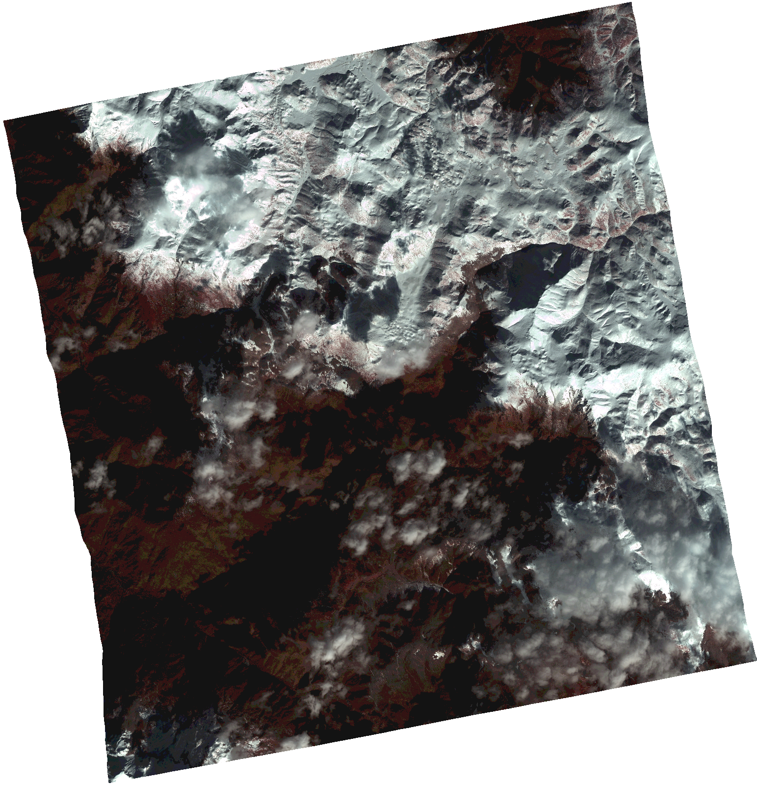
Start Date | 2021-01-02T09:19:29Z |
Stop Date | 2021-01-02T09:19:32Z |
Availability Time | 2021-01-02T09:19:32Z |
Instrument Short Name | HiRAIS |
Sensor Type | OPTICAL |
Operational mode | PSH |
Resolution | 1.0 |
Orbit | 35441 |
Satellite | GEOSAT-2 |
Product type | HRA_PSH_1C |
Orbit Direction | ASCENDING |
Scene Centre Longitude | |
Scene Centre Latitude | |
Illumination Azimuth Angle | 159.585367057 |
Illumination Elevation Angle | 22.808300000000003 |
Footprint | 41.497757 20.807909 41.65642 20.807438 41.655897 20.603374 41.497237 20.604344 41.497757 20.807909 |
Product Size | 1540747158 |
Cloud Cover Percentage | 0 |
Acquisition Type | NOMINAL |
Bounding Box | 41.65642 20.603374 41.497237 20.603374 41.497237 20.807909 41.65642 20.807909 41.65642 20.603374 |
Original name | DE2_PSH_L1C_000000_20210102T091929_20210102T091932_DE2_35441_1FB3.zip |