Static Map Catalogue - Full Metadata Record
Collection GEOSAT
GEOSAT ESA archive. More details here.
DE2_OPER_HRA_PSH_1C_20210101T090404_N41-945_E020-840_0001
Download Product | Browse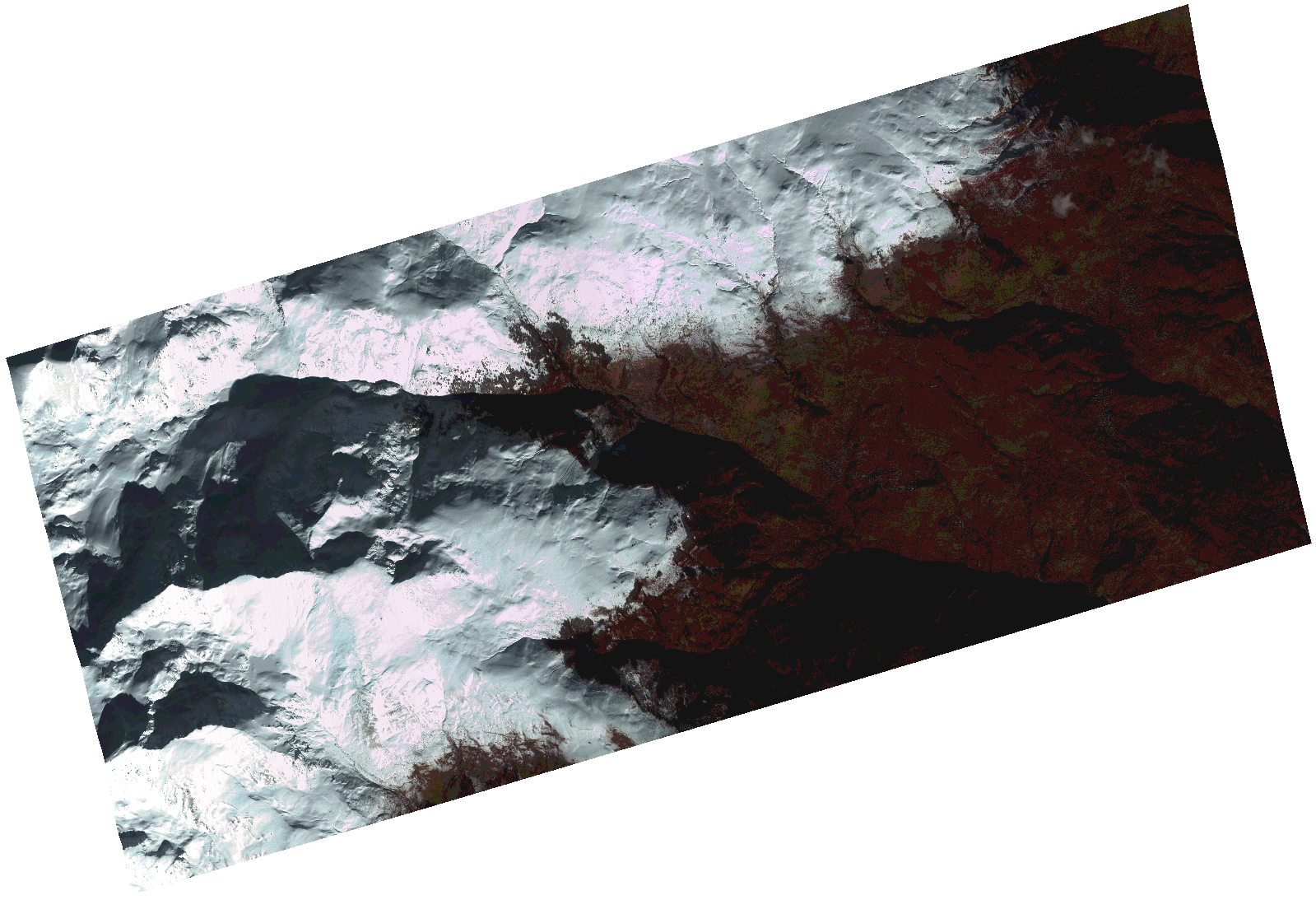
Start Date | 2021-01-01T09:04:04Z |
Stop Date | 2021-01-01T09:04:05Z |
Availability Time | 2021-01-01T09:04:05Z |
Instrument Short Name | HiRAIS |
Sensor Type | OPTICAL |
Operational mode | PSH |
Resolution | 1.0 |
Orbit | 35426 |
Satellite | GEOSAT-2 |
Product type | HRA_PSH_1C |
Orbit Direction | ASCENDING |
Scene Centre Longitude | |
Scene Centre Latitude | |
Illumination Azimuth Angle | 156.184850127 |
Illumination Elevation Angle | 21.295 |
Footprint | 41.937237 20.919677 41.985901 20.904487 41.953857 20.761639 41.905192 20.776829 41.937237 20.919677 |
Product Size | 491150599 |
Cloud Cover Percentage | 0 |
Acquisition Type | NOMINAL |
Bounding Box | 41.985901 20.761639 41.905192 20.761639 41.905192 20.919677 41.985901 20.919677 41.985901 20.761639 |
Original name | DE2_PSH_L1C_000000_20210101T090404_20210101T090405_DE2_35426_F928.zip |