Static Map Catalogue - Full Metadata Record
Collection GEOSAT
GEOSAT ESA archive. More details here.
DE2_OPER_HRA_PSH_1C_20210101T090402_N41-870_E020-864_0001
Download Product | Browse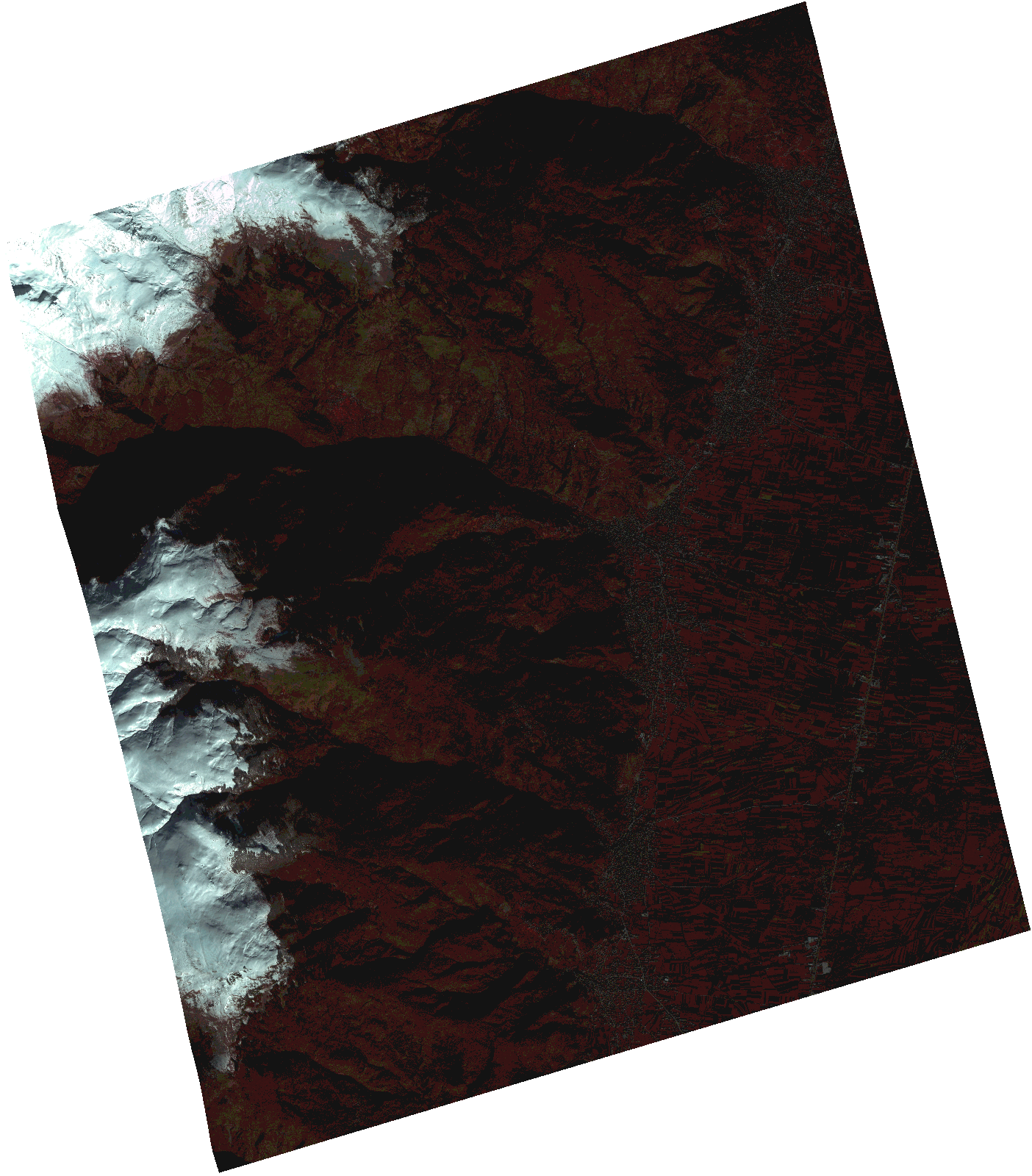
Start Date | 2021-01-01T09:04:02Z |
Stop Date | 2021-01-01T09:04:04Z |
Availability Time | 2021-01-01T09:04:04Z |
Instrument Short Name | HiRAIS |
Sensor Type | OPTICAL |
Operational mode | PSH |
Resolution | 1.0 |
Orbit | 35426 |
Satellite | GEOSAT-2 |
Product type | HRA_PSH_1C |
Orbit Direction | ASCENDING |
Scene Centre Longitude | |
Scene Centre Latitude | |
Illumination Azimuth Angle | 156.191265519 |
Illumination Elevation Angle | 21.368799999999993 |
Footprint | 41.793238 20.956178 41.948868 20.956071 41.948652 20.773081 41.793023 20.773631 41.793238 20.956178 |
Product Size | 1165338677 |
Cloud Cover Percentage | 0 |
Acquisition Type | NOMINAL |
Bounding Box | 41.948868 20.773081 41.793023 20.773081 41.793023 20.956178 41.948868 20.956178 41.948868 20.773081 |
Original name | DE2_PSH_L1C_000000_20210101T090402_20210101T090404_DE2_35426_ED8F.zip |