Static Map Catalogue - Full Metadata Record
Collection GEOSAT
GEOSAT ESA archive. More details here.
DE2_OPER_HRA_PSH_1C_20210101T090400_N41-759_E020-900_0001
Download Product | Browse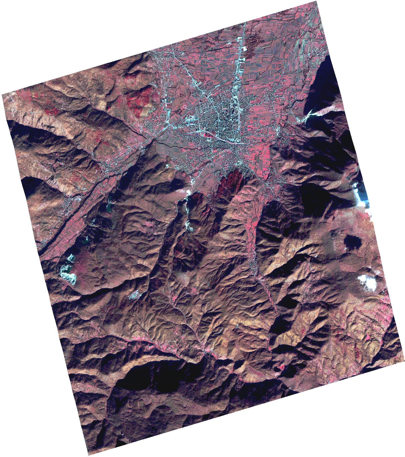
Start Date | 2021-01-01T09:04:00Z |
Stop Date | 2021-01-01T09:04:02Z |
Availability Time | 2021-01-01T09:04:02Z |
Instrument Short Name | HiRAIS |
Sensor Type | OPTICAL |
Operational mode | PSH |
Resolution | 1.0 |
Orbit | 35426 |
Satellite | GEOSAT-2 |
Product type | HRA_PSH_1C |
Orbit Direction | ASCENDING |
Scene Centre Longitude | |
Scene Centre Latitude | |
Illumination Azimuth Angle | 156.200740329 |
Illumination Elevation Angle | 21.479799999999997 |
Footprint | 41.681738 20.992635 41.837371 20.992617 41.837211 20.80821 41.681579 20.808673 41.681738 20.992635 |
Product Size | 1122012923 |
Cloud Cover Percentage | 0 |
Acquisition Type | NOMINAL |
Bounding Box | 41.837371 20.80821 41.681579 20.80821 41.681579 20.992635 41.837371 20.992635 41.837371 20.80821 |
Original name | DE2_PSH_L1C_000000_20210101T090400_20210101T090402_DE2_35426_921D.zip |