Static Map Catalogue - Full Metadata Record
Collection GEOSAT
GEOSAT ESA archive. More details here.
DE2_OPER_HRA_PSH_1C_20210101T090358_N41-682_E020-931_0001
Download Product | Browse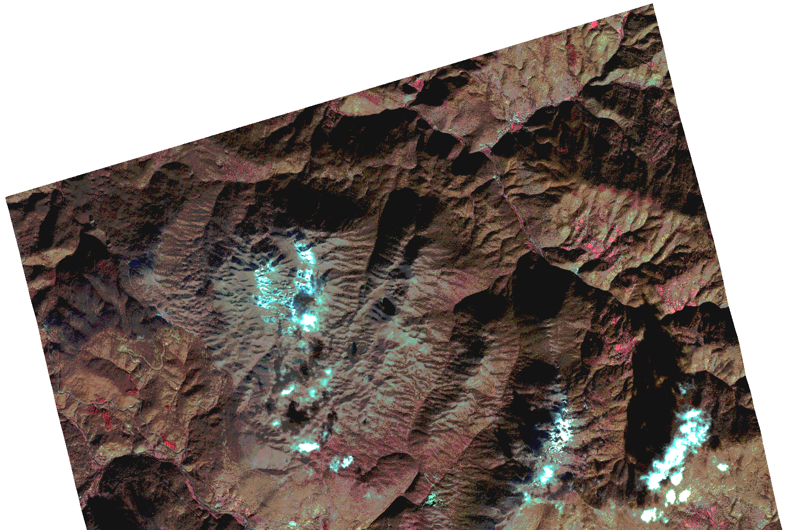
Start Date | 2021-01-01T09:03:58Z |
Stop Date | 2021-01-01T09:04:01Z |
Availability Time | 2021-01-01T09:04:01Z |
Instrument Short Name | HiRAIS |
Sensor Type | OPTICAL |
Operational mode | PSH |
Resolution | 1.0 |
Orbit | 35426 |
Satellite | GEOSAT-2 |
Product type | HRA_PSH_1C |
Orbit Direction | ASCENDING |
Scene Centre Longitude | |
Scene Centre Latitude | |
Illumination Azimuth Angle | 156.210186021 |
Illumination Elevation Angle | 21.590599999999995 |
Footprint | 41.637998 21.019343 41.726295 21.01937 41.726191 20.843793 41.637894 20.844006 41.637998 21.019343 |
Product Size | 655135778 |
Cloud Cover Percentage | 0 |
Acquisition Type | NOMINAL |
Bounding Box | 41.726295 20.843793 41.637894 20.843793 41.637894 21.01937 41.726295 21.01937 41.726295 20.843793 |
Original name | DE2_PSH_L1C_000000_20210101T090358_20210101T090401_DE2_35426_4349.zip |