Static Map Catalogue - Full Metadata Record
Collection GEOSAT
GEOSAT ESA archive. More details here.
DE2_OPER_HRA_PSH_1C_20201231T084833_N42-116_E021-115_0001
Download Product | Browse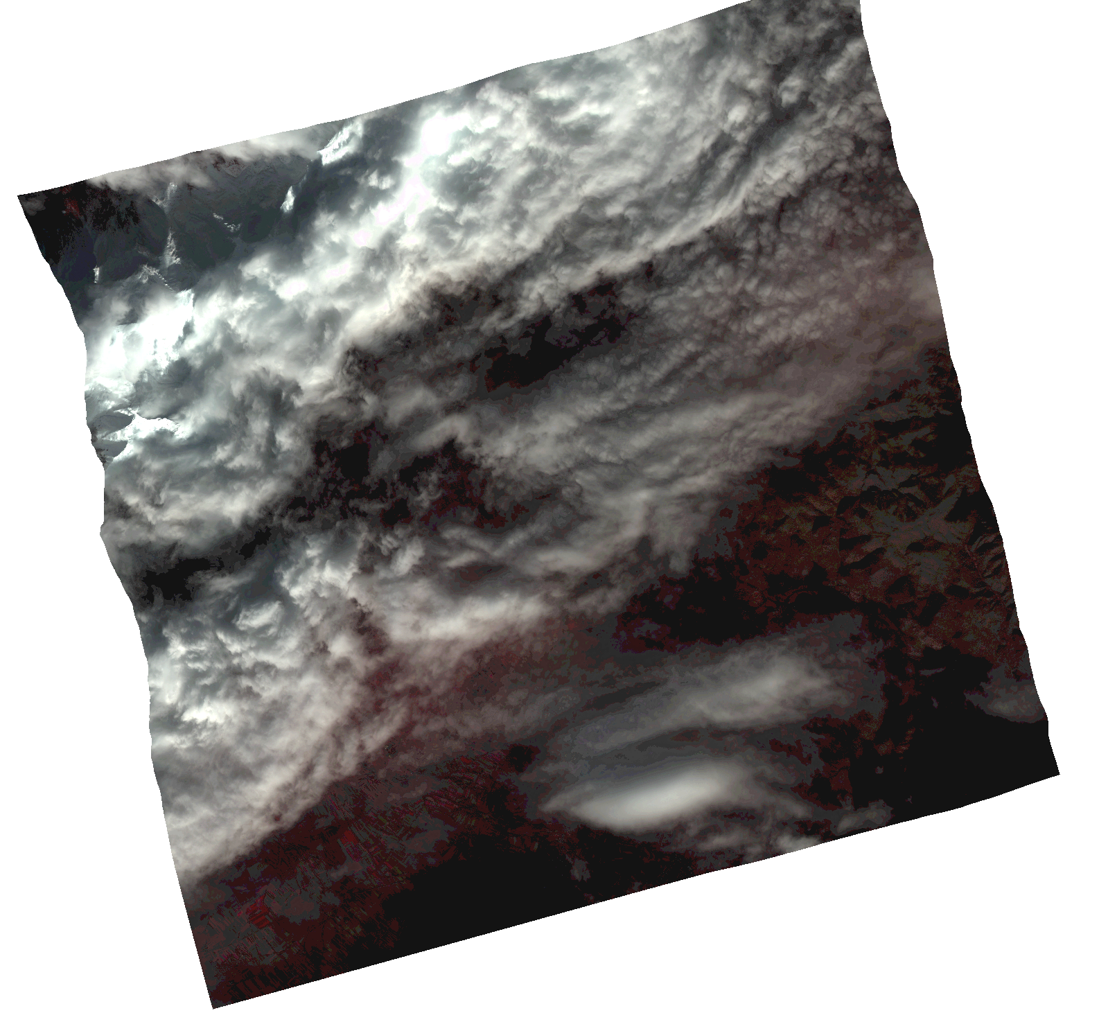
Start Date | 2020-12-31T08:48:33Z |
Stop Date | 2020-12-31T08:48:36Z |
Availability Time | 2020-12-31T08:48:36Z |
Instrument Short Name | HiRAIS |
Sensor Type | OPTICAL |
Operational mode | PSH |
Resolution | 1.0 |
Orbit | 35411 |
Satellite | GEOSAT-2 |
Product type | HRA_PSH_1C |
Orbit Direction | ASCENDING |
Scene Centre Longitude | |
Scene Centre Latitude | |
Illumination Azimuth Angle | 153.081635815 |
Illumination Elevation Angle | 20.0201 |
Footprint | 42.026691 21.246125 42.206018 21.24682 42.206282 20.985269 42.026954 20.985311 42.026691 21.246125 |
Product Size | 1868160512 |
Cloud Cover Percentage | 0 |
Acquisition Type | NOMINAL |
Bounding Box | 42.206282 20.985269 42.026691 20.985269 42.026691 21.24682 42.206282 21.24682 42.206282 20.985269 |
Original name | DE2_PSH_L1C_000000_20201231T084833_20201231T084836_DE2_35411_1DBD.zip |