Static Map Catalogue - Full Metadata Record
Collection GEOSAT
GEOSAT ESA archive. More details here.
DE2_OPER_HRA_PSH_1C_20210606T091807_N41-497_E020-773_0001
Download Product | Browse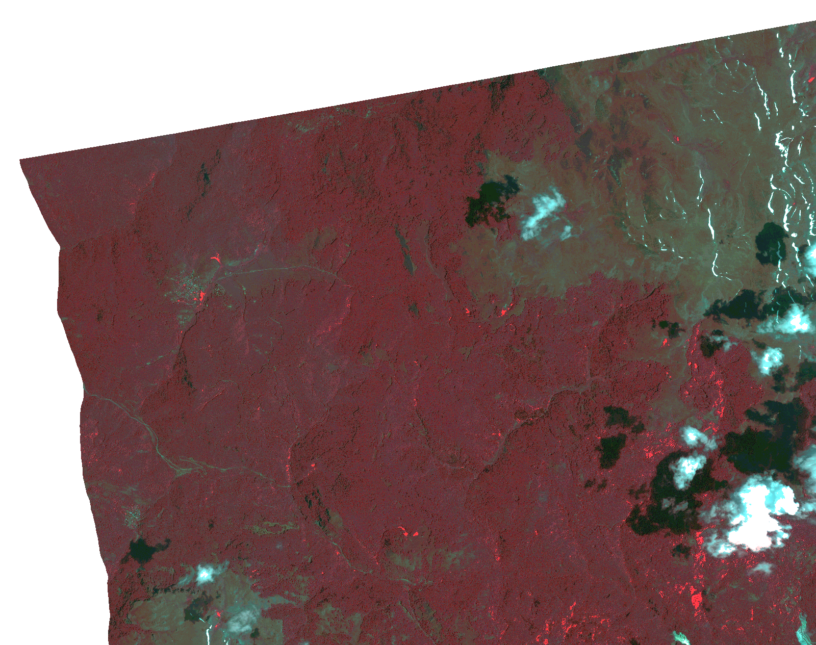
Start Date | 2021-06-06T09:18:07Z |
Stop Date | 2021-06-06T09:18:09Z |
Availability Time | 2021-06-06T09:18:09Z |
Instrument Short Name | HiRAIS |
Sensor Type | OPTICAL |
Operational mode | PSH |
Resolution | 1.0 |
Orbit | 37741 |
Satellite | GEOSAT-2 |
Product type | HRA_PSH_1C |
Orbit Direction | ASCENDING |
Scene Centre Longitude | |
Scene Centre Latitude | |
Illumination Azimuth Angle | 133.293110277 |
Illumination Elevation Angle | 65.1309 |
Footprint | 41.441156 20.887523 41.580393 20.850075 41.554715 20.659153 41.415478 20.696601 41.441156 20.887523 |
Product Size | 809159610 |
Cloud Cover Percentage | 0 |
Acquisition Type | NOMINAL |
Bounding Box | 41.580393 20.659153 41.415478 20.659153 41.415478 20.887523 41.580393 20.887523 41.580393 20.659153 |
Original name | DE2_PSH_L1C_000000_20210606T091807_20210606T091809_DE2_37741_F098.zip |