Static Map Catalogue - Full Metadata Record
Collection GEOSAT
GEOSAT ESA archive. More details here.
DE2_OPER_HRA_PSH_1C_20200411T090634_N47-191_E019-515_0000
Download Product | Browse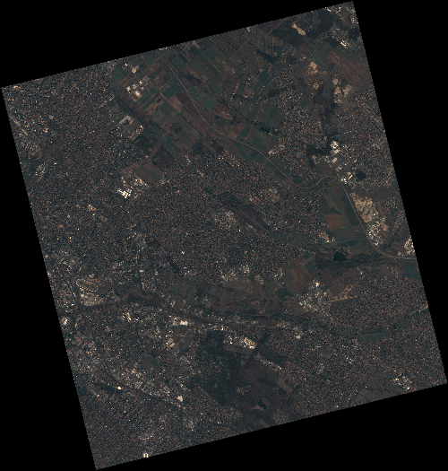
Start Date | 2020-04-11T09:06:34Z |
Stop Date | 2020-04-11T09:06:37Z |
Availability Time | 2020-04-11T09:06:37Z |
Instrument Short Name | HiRAIS |
Sensor Type | OPTICAL |
Operational mode | PSH |
Resolution | 0.75 |
Orbit | 31494 |
Satellite | GEOSAT-2 |
Product type | HRA_PSH_1C |
Orbit Direction | ASCENDING |
Scene Centre Longitude | E019 |
Scene Centre Latitude | N47 |
Illumination Azimuth Angle | 144.076319738 |
Illumination Elevation Angle | 45.8657 |
Footprint | 47.562443 19.081007 47.593657 19.250690 47.468775 19.301086 47.437562 19.131403 47.562443 19.081007 |
Product Size | 2317917659 |
Cloud Cover Percentage | 0 |
Acquisition Type | NOMINAL |
Bounding Box | 47.593657 19.081007 47.437562 19.081007 47.437562 19.301086 47.593657 19.301086 |
Original name | DE2_PSH_L1C_000000_20200411T090634_20200411T090637_DE2_31494_0EB4 |