Static Map Catalogue - Full Metadata Record
Collection GEOSAT
GEOSAT ESA archive. More details here.
DE2_OPER_HRA_PSH_1C_20200405T090852_N47-035_E019-539_0000
Download Product | Browse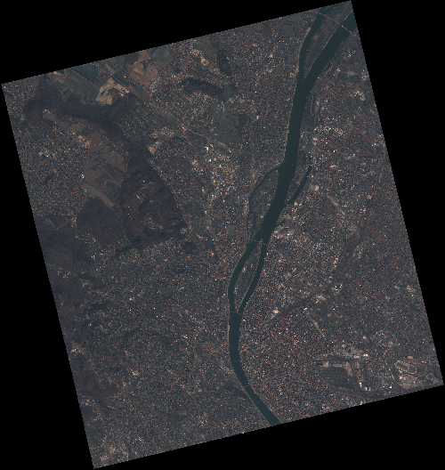
Start Date | 2020-04-05T09:08:52Z |
Stop Date | 2020-04-05T09:08:54Z |
Availability Time | 2020-04-05T09:08:54Z |
Instrument Short Name | HiRAIS |
Sensor Type | OPTICAL |
Operational mode | PSH |
Resolution | 0.75 |
Orbit | 31405 |
Satellite | GEOSAT-2 |
Product type | HRA_PSH_1C |
Orbit Direction | ASCENDING |
Scene Centre Longitude | E019 |
Scene Centre Latitude | N47 |
Illumination Azimuth Angle | 145.340691408 |
Illumination Elevation Angle | 43.7881 |
Footprint | 47.586574 18.928164 47.616654 19.094369 47.492852 19.143520 47.462772 18.977316 47.586574 18.928164 |
Product Size | 2227080624 |
Cloud Cover Percentage | 0 |
Acquisition Type | NOMINAL |
Bounding Box | 47.616654 18.928164 47.462772 18.928164 47.462772 19.14352 47.616654 19.14352 |
Original name | DE2_PSH_L1C_000000_20200405T090852_20200405T090854_DE2_31405_45A2 |