Static Map Catalogue - Full Metadata Record
Collection GEOSAT
GEOSAT ESA archive. More details here.
DE2_OPER_HRA_PSH_1C_20200405T090850_N47-080_E019-427_0000
Download Product | Browse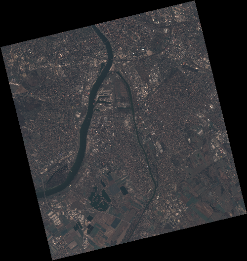
Start Date | 2020-04-05T09:08:50Z |
Stop Date | 2020-04-05T09:08:53Z |
Availability Time | 2020-04-05T09:08:53Z |
Instrument Short Name | HiRAIS |
Sensor Type | OPTICAL |
Operational mode | PSH |
Resolution | 0.75 |
Orbit | 31405 |
Satellite | GEOSAT-2 |
Product type | HRA_PSH_1C |
Orbit Direction | ASCENDING |
Scene Centre Longitude | E019 |
Scene Centre Latitude | N47 |
Illumination Azimuth Angle | 145.326479592 |
Illumination Elevation Angle | 43.8949 |
Footprint | 47.474242 18.972675 47.504302 19.138862 47.380445 19.188145 47.350385 19.021958 47.474242 18.972675 |
Product Size | 2236682552 |
Cloud Cover Percentage | 0 |
Acquisition Type | NOMINAL |
Bounding Box | 47.504302 18.972675 47.350385 18.972675 47.350385 19.188145 47.504302 19.188145 |
Original name | DE2_PSH_L1C_000000_20200405T090850_20200405T090853_DE2_31405_726B |