Static Map Catalogue - Full Metadata Record
Collection GEOSAT
GEOSAT ESA archive. More details here.
DE2_OPER_HRA_PSH_1C_20200405T090848_N47-125_E019-314_0000
Download Product | Browse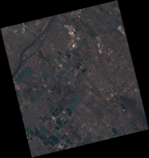
Start Date | 2020-04-05T09:08:48Z |
Stop Date | 2020-04-05T09:08:51Z |
Availability Time | 2020-04-05T09:08:51Z |
Instrument Short Name | HiRAIS |
Sensor Type | OPTICAL |
Operational mode | PSH |
Resolution | 0.75 |
Orbit | 31405 |
Satellite | GEOSAT-2 |
Product type | HRA_PSH_1C |
Orbit Direction | ASCENDING |
Scene Centre Longitude | E019 |
Scene Centre Latitude | N47 |
Illumination Azimuth Angle | 145.31192354 |
Illumination Elevation Angle | 44.0016 |
Footprint | 47.361896 19.017589 47.391928 19.183441 47.268050 19.232632 47.238017 19.066780 47.361896 19.017589 |
Product Size | 2206227169 |
Cloud Cover Percentage | 0 |
Acquisition Type | NOMINAL |
Bounding Box | 47.391928 19.017589 47.238017 19.017589 47.238017 19.232632 47.391928 19.232632 |
Original name | DE2_PSH_L1C_000000_20200405T090848_20200405T090851_DE2_31405_15EA |