Static Map Catalogue - Full Metadata Record
Collection GEOSAT
GEOSAT ESA archive. More details here.
DE2_OPER_HRA_MS4_1C_20180607T091943_N50-922_E016-791_0000
Download Product | Browse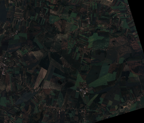
Start Date | 2018-06-07T09:19:43Z |
Stop Date | 2018-06-07T09:19:46Z |
Availability Time | 2018-06-07T09:19:46Z |
Instrument Short Name | HiRAIS |
Sensor Type | OPTICAL |
Operational mode | MS4 |
Resolution | 3.27059941653 |
Orbit | 21494 |
Satellite | GEOSAT-2 |
Product type | HRA_MS4_1C |
Orbit Direction | ASCENDING |
Scene Centre Longitude | E016 |
Scene Centre Latitude | N50 |
Illumination Azimuth Angle | 139.128082083 |
Illumination Elevation Angle | 56.786 |
Footprint | 50.836264 16.844173 50.833638 17.003437 50.747512 16.999758 50.750131 16.840786 50.836264 16.844173 |
Product Size | 67752276 |
Cloud Cover Percentage | 0 |
Acquisition Type | NOMINAL |
Bounding Box | 50.836264 16.840786 50.747512 16.840786 50.747512 17.003437 50.836264 17.003437 |
Original name | DE2_MS4_L1C_000000_20180607T091943_20180607T091946_DE2_21494_5A50 |