Static Map Catalogue - Full Metadata Record
Collection GEOSAT
GEOSAT ESA archive. More details here.
DE2_OPER_HRA_PSH_1C_20200412T092228_N48-132_E017-204_0000
Download Product | Browse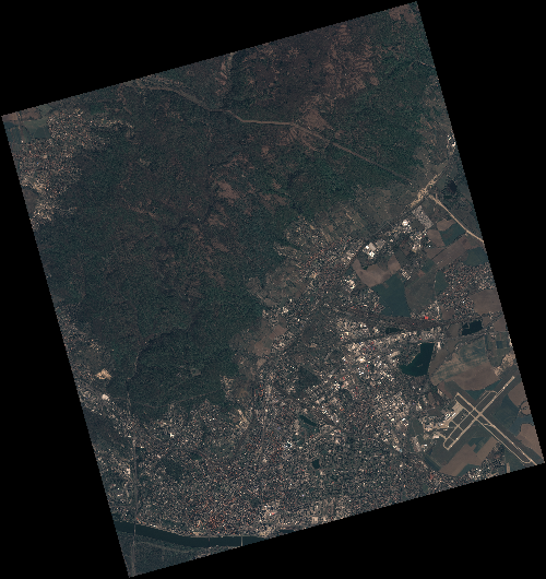
Start Date | 2020-04-12T09:22:28Z |
Stop Date | 2020-04-12T09:22:31Z |
Availability Time | 2020-04-12T09:22:31Z |
Instrument Short Name | HiRAIS |
Sensor Type | OPTICAL |
Operational mode | PSH |
Resolution | 0.75 |
Orbit | 31509 |
Satellite | GEOSAT-2 |
Product type | HRA_PSH_1C |
Orbit Direction | ASCENDING |
Scene Centre Longitude | E017 |
Scene Centre Latitude | N48 |
Illumination Azimuth Angle | 146.886450845 |
Illumination Elevation Angle | 46.3924 |
Footprint | 48.252093 17.026943 48.279320 17.192310 48.156610 17.237732 48.129383 17.072364 48.252093 17.026943 |
Product Size | 2169032862 |
Cloud Cover Percentage | 0 |
Acquisition Type | NOMINAL |
Bounding Box | 48.27932 17.026943 48.129383 17.026943 48.129383 17.237732 48.27932 17.237732 |
Original name | DE2_PSH_L1C_000000_20200412T092228_20200412T092231_DE2_31509_1475 |