Static Map Catalogue - Full Metadata Record
Collection GEOSAT
GEOSAT ESA archive. More details here.
DE2_OPER_HRA_PSH_1C_20200406T092446_N48-382_E016-152_0000
Download Product | Browse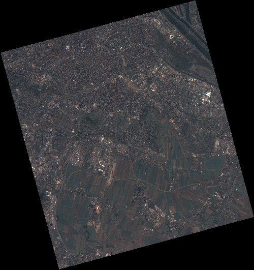
Start Date | 2020-04-06T09:24:46Z |
Stop Date | 2020-04-06T09:24:49Z |
Availability Time | 2020-04-06T09:24:49Z |
Instrument Short Name | HiRAIS |
Sensor Type | OPTICAL |
Operational mode | PSH |
Resolution | 0.75 |
Orbit | 31420 |
Satellite | GEOSAT-2 |
Product type | HRA_PSH_1C |
Orbit Direction | ASCENDING |
Scene Centre Longitude | E016 |
Scene Centre Latitude | N48 |
Illumination Azimuth Angle | 147.253058992 |
Illumination Elevation Angle | 44.1589 |
Footprint | 48.199812 16.276664 48.227393 16.441487 48.104663 16.487504 48.077082 16.322681 48.199812 16.276664 |
Product Size | 2156991065 |
Cloud Cover Percentage | 0 |
Acquisition Type | NOMINAL |
Bounding Box | 48.227393 16.276664 48.077082 16.276664 48.077082 16.487504 48.227393 16.487504 |
Original name | DE2_PSH_L1C_000000_20200406T092446_20200406T092449_DE2_31420_88C2 |