Static Map Catalogue - Full Metadata Record
Collection GEOSAT
GEOSAT ESA archive. More details here.
DE2_OPER_HRA_PSH_1C_20200331T092633_N46-585_E014-030_0000
Download Product | Browse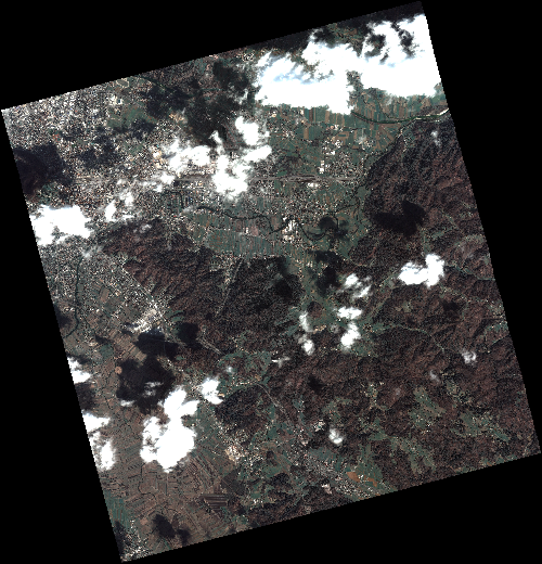
Start Date | 2020-03-31T09:26:33Z |
Stop Date | 2020-03-31T09:26:36Z |
Availability Time | 2020-03-31T09:26:36Z |
Instrument Short Name | HiRAIS |
Sensor Type | OPTICAL |
Operational mode | PSH |
Resolution | 0.75 |
Orbit | 31331 |
Satellite | GEOSAT-2 |
Product type | HRA_PSH_1C |
Orbit Direction | ASCENDING |
Scene Centre Longitude | E014 |
Scene Centre Latitude | N46 |
Illumination Azimuth Angle | 145.056926978 |
Illumination Elevation Angle | 43.1245 |
Footprint | 46.077801 14.477280 46.108798 14.643794 45.983638 14.692797 45.952641 14.526284 46.077801 14.477280 |
Product Size | 2390922529 |
Cloud Cover Percentage | 0 |
Acquisition Type | NOMINAL |
Bounding Box | 46.108798 14.47728 45.952641 14.47728 45.952641 14.692797 46.108798 14.692797 |
Original name | DE2_PSH_L1C_000000_20200331T092633_20200331T092636_DE2_31331_5646 |