Static Map Catalogue - Full Metadata Record
Collection GEOSAT
GEOSAT ESA archive. More details here.
DE2_OPER_HRA_PSH_1B_20170318T095340_N37-991_E014-716_0000
Download Product | Browse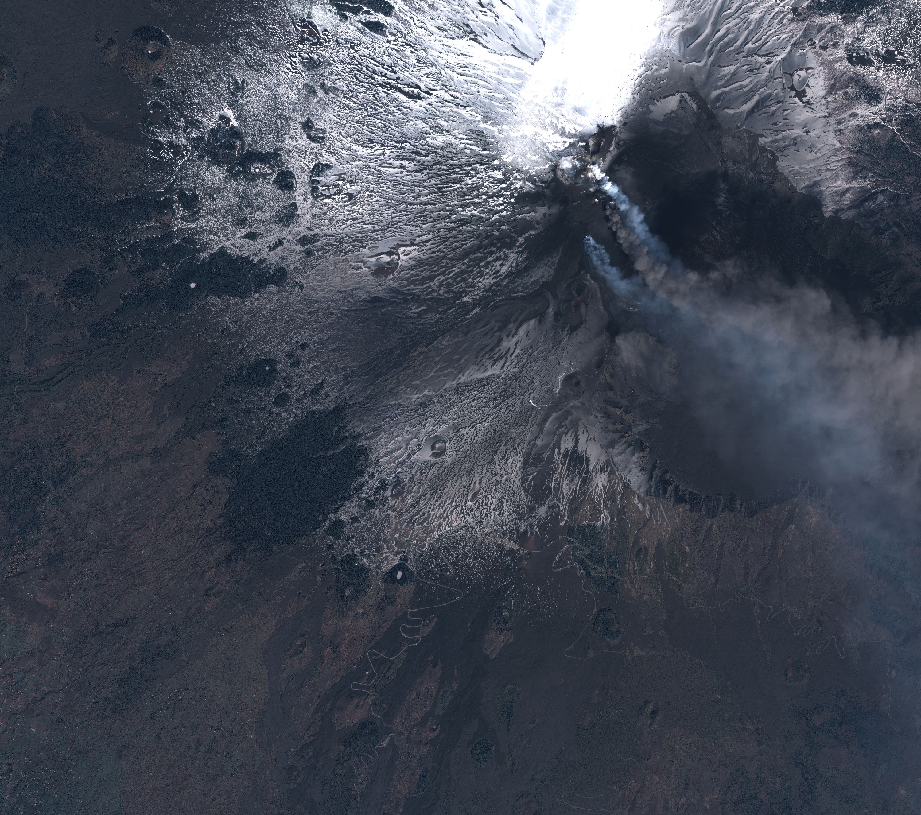
Start Date | 2017-03-18T09:53:40Z |
Stop Date | 2017-03-18T09:53:42Z |
Availability Time | 2017-03-18T09:53:42Z |
Instrument Short Name | HiRAIS |
Sensor Type | OPTICAL |
Operational mode | PSH |
Resolution | 1.0 |
Orbit | 14876 |
Satellite | GEOSAT-2 |
Product type | HRA_PSH_1B |
Orbit Direction | ASCENDING |
Scene Centre Longitude | E014 |
Scene Centre Latitude | N37 |
Illumination Azimuth Angle | 151.67316679 |
Illumination Elevation Angle | 47.8385 |
Footprint | 37.759023 14.888493 37.784433 15.063415 37.674491 15.093255 37.649206 14.91874 37.759023 14.888493 |
Product Size | 855205356 |
Cloud Cover Percentage | 0 |
Acquisition Type | NOMINAL |
Bounding Box | |
Original name | DE2_PSH_L1B_000000_20170318T095340_20170318T095342_DE2_14876_FC3E |