Static Map Catalogue - Full Metadata Record
Collection GEOSAT
GEOSAT ESA archive. More details here.
DE2_OPER_HRA_PSH_1B_20170304T092923_N37-996_E014-773_0000
Download Product | Browse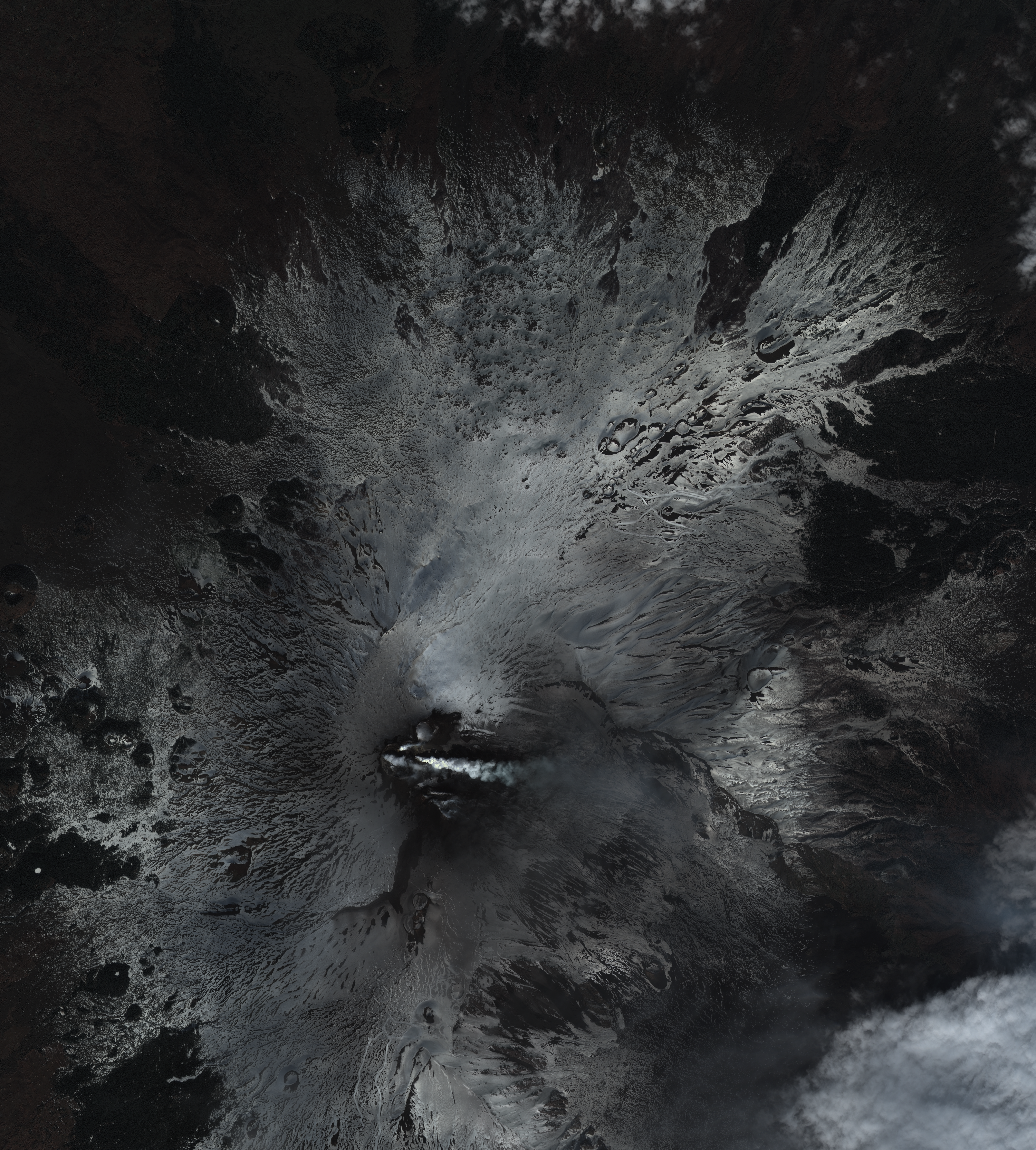
Start Date | 2017-03-04T09:29:23Z |
Stop Date | 2017-03-04T09:29:26Z |
Availability Time | 2017-03-04T09:29:26Z |
Instrument Short Name | HiRAIS |
Sensor Type | OPTICAL |
Operational mode | PSH |
Resolution | 1.0 |
Orbit | 14668 |
Satellite | GEOSAT-2 |
Product type | HRA_PSH_1B |
Orbit Direction | ASCENDING |
Scene Centre Longitude | E014 |
Scene Centre Latitude | N37 |
Illumination Azimuth Angle | 145.986866745 |
Illumination Elevation Angle | 39.8943 |
Footprint | 37.8233 14.893967 37.855082 15.053809 37.724797 15.099201 37.692715 14.938576 37.8233 14.893967 |
Product Size | 1108191788 |
Cloud Cover Percentage | 0 |
Acquisition Type | NOMINAL |
Bounding Box | |
Original name | DE2_PSH_L1B_000000_20170304T092923_20170304T092926_DE2_14668_27E4 |