Static Map Catalogue - Full Metadata Record
Collection GEOSAT
GEOSAT ESA archive. More details here.
DE2_OPER_HRA_PSH_1C_20200413T093620_N40-156_E014-990_0000
Download Product | Browse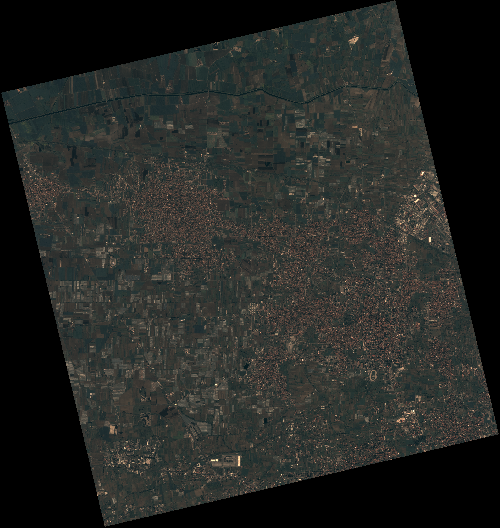
Start Date | 2020-04-13T09:36:20Z |
Stop Date | 2020-04-13T09:36:23Z |
Availability Time | 2020-04-13T09:36:23Z |
Instrument Short Name | HiRAIS |
Sensor Type | OPTICAL |
Operational mode | PSH |
Resolution | 0.75 |
Orbit | 31524 |
Satellite | GEOSAT-2 |
Product type | HRA_PSH_1C |
Orbit Direction | ASCENDING |
Scene Centre Longitude | E014 |
Scene Centre Latitude | N40 |
Illumination Azimuth Angle | 142.51095505 |
Illumination Elevation Angle | 52.8463 |
Footprint | 41.038686 14.062200 41.066297 14.210944 40.942076 14.251741 40.914465 14.102997 41.038686 14.062200 |
Product Size | 2239964425 |
Cloud Cover Percentage | 0 |
Acquisition Type | NOMINAL |
Bounding Box | 41.066297 14.0622 40.914465 14.0622 40.914465 14.251741 41.066297 14.251741 |
Original name | DE2_PSH_L1C_000000_20200413T093620_20200413T093623_DE2_31524_220D |