Static Map Catalogue - Full Metadata Record
Collection GEOSAT
GEOSAT ESA archive. More details here.
DE2_OPER_HRA_PM4_1B_20161214T094154_N40-187_E014-829_0000
Download Product | Browse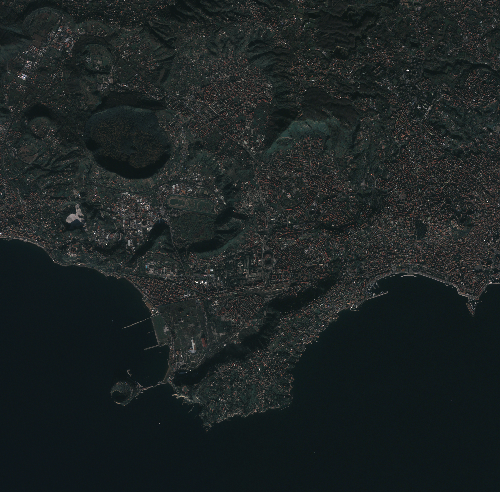
Start Date | 2016-12-14T09:41:54Z |
Stop Date | 2016-12-14T09:41:57Z |
Availability Time | 2016-12-14T09:41:57Z |
Instrument Short Name | HiRAIS |
Sensor Type | OPTICAL |
Operational mode | PM4 |
Resolution | 1.0 |
Orbit | 13481 |
Satellite | GEOSAT-2 |
Product type | HRA_PM4_1B |
Orbit Direction | ASCENDING |
Scene Centre Longitude | E014 |
Scene Centre Latitude | N40 |
Illumination Azimuth Angle | 160.923300245 |
Illumination Elevation Angle | 23.5126 |
Footprint | 40.867386 14.107371 40.889781 14.238073 40.792452 14.267289 40.770027 14.136540 40.867386 14.107371 |
Product Size | 198568453 |
Cloud Cover Percentage | 0 |
Acquisition Type | NOMINAL |
Bounding Box | |
Original name | DE2_PM4_L1B_000000_20161214T094154_20161214T094157_DE2_13481_0DC6 |