Static Map Catalogue - Full Metadata Record
Collection GEOSAT
GEOSAT ESA archive. More details here.
DE2_OPER_HRA_PM4_1C_20210128T094030_N44-045_E012-531_0001
Download Product | Browse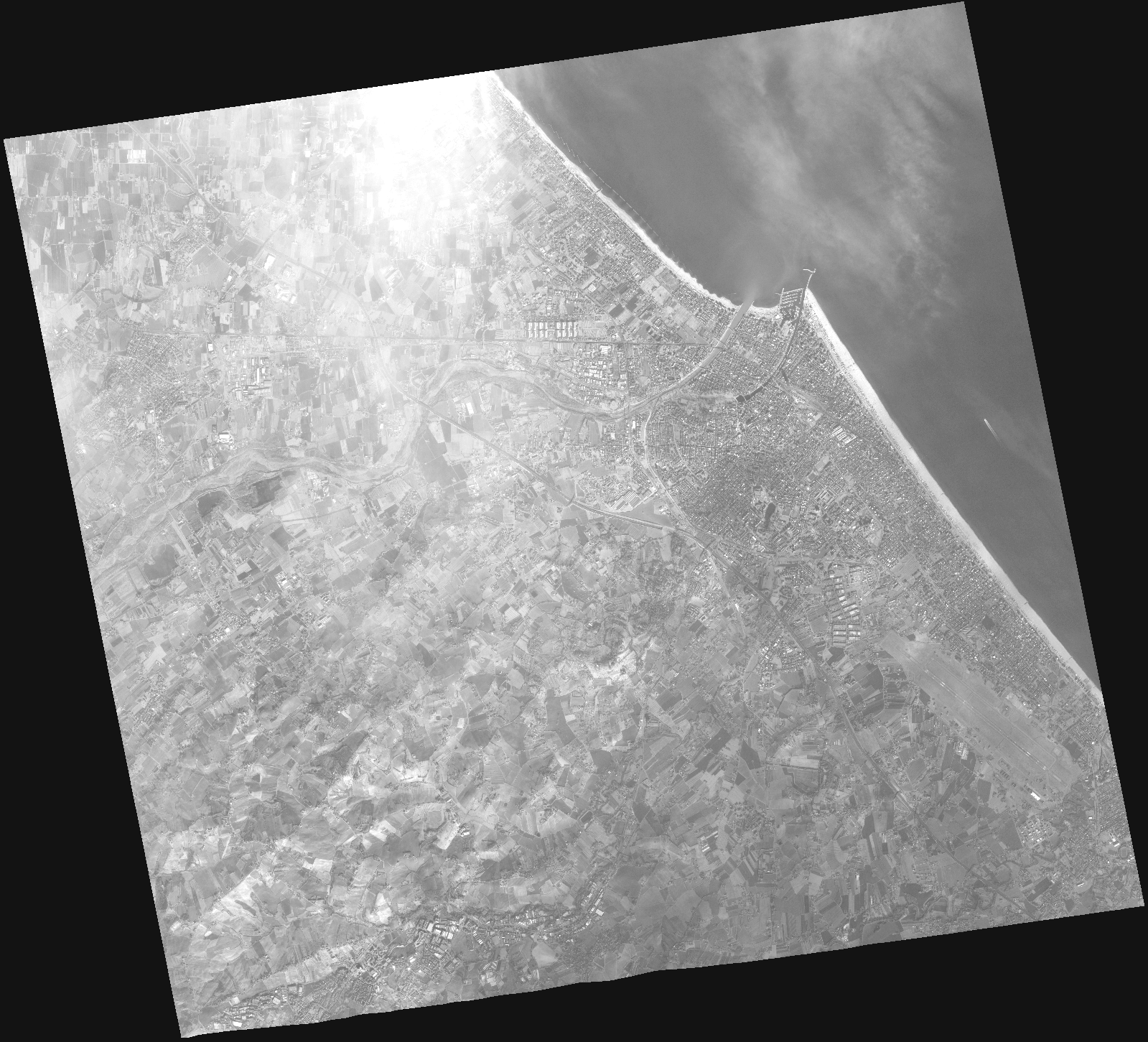
Start Date | 2021-01-28T09:40:30Z |
Stop Date | 2021-01-28T09:40:36Z |
Availability Time | 2021-01-28T09:40:36Z |
Instrument Short Name | HiRAIS |
Sensor Type | OPTICAL |
Operational mode | PM4 |
Resolution | |
Orbit | 35827 |
Satellite | GEOSAT-2 |
Product type | HRA_PM4_1C |
Orbit Direction | ASCENDING |
Scene Centre Longitude | |
Scene Centre Latitude | |
Illumination Azimuth Angle | 153.39775882 |
Illumination Elevation Angle | 23.6682 |
Footprint | 43.995073 12.643217 44.119043 12.603636 44.096065 12.420476 43.973003 12.459804 43.995073 12.643217 |
Product Size | 410202413 |
Cloud Cover Percentage | 0 |
Acquisition Type | NOMINAL |
Bounding Box | 44.119043 12.420476 43.973003 12.420476 43.973003 12.643217 44.119043 12.643217 44.119043 12.420476 |
Original name | DE2_PM4_L1C_000000_20210128T094030_20210128T094036_DE2_35827_DE02.zip |