Static Map Catalogue - Full Metadata Record
Collection GEOSAT
GEOSAT ESA archive. More details here.
DE2_OPER_HRA_PSH_1C_20200426T094737_N41-688_E012-784_0000
Download Product | Browse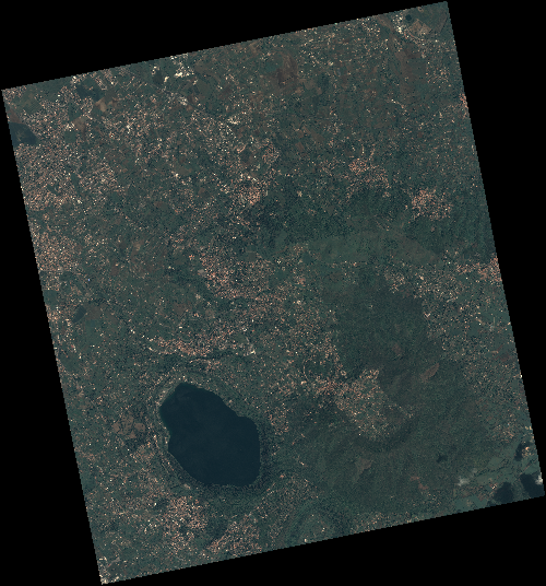
Start Date | 2020-04-26T09:47:37Z |
Stop Date | 2020-04-26T09:47:40Z |
Availability Time | 2020-04-26T09:47:40Z |
Instrument Short Name | HiRAIS |
Sensor Type | OPTICAL |
Operational mode | PSH |
Resolution | 0.75 |
Orbit | 31717 |
Satellite | GEOSAT-2 |
Product type | HRA_PSH_1C |
Orbit Direction | ASCENDING |
Scene Centre Longitude | E012 |
Scene Centre Latitude | N41 |
Illumination Azimuth Angle | 142.663020802 |
Illumination Elevation Angle | 57.0685 |
Footprint | 41.833154 12.595855 41.858480 12.744168 41.734954 12.781955 41.709628 12.633643 41.833154 12.595855 |
Product Size | 2207106067 |
Cloud Cover Percentage | 0 |
Acquisition Type | NOMINAL |
Bounding Box | 41.85848 12.595855 41.709628 12.595855 41.709628 12.781955 41.85848 12.781955 |
Original name | DE2_PSH_L1C_000000_20200426T094737_20200426T094740_DE2_31717_7B24 |