Static Map Catalogue - Full Metadata Record
Collection GEOSAT
GEOSAT ESA archive. More details here.
DE2_OPER_HRA_PSH_1C_20200320T094542_N41-538_E012-855_0000
Download Product | Browse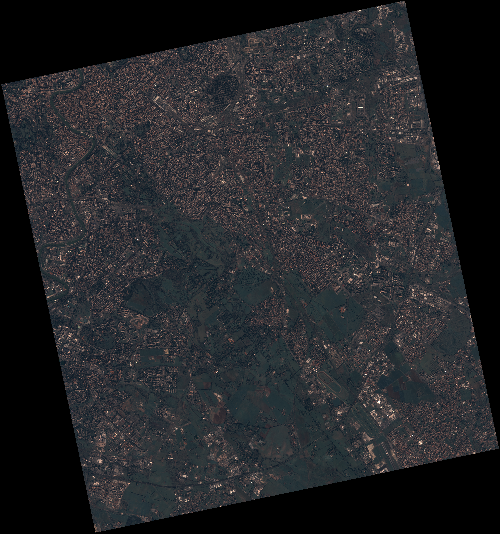
Start Date | 2020-03-20T09:45:42Z |
Stop Date | 2020-03-20T09:45:44Z |
Availability Time | 2020-03-20T09:45:44Z |
Instrument Short Name | HiRAIS |
Sensor Type | OPTICAL |
Operational mode | PSH |
Resolution | 0.75 |
Orbit | 31168 |
Satellite | GEOSAT-2 |
Product type | HRA_PSH_1C |
Orbit Direction | ASCENDING |
Scene Centre Longitude | E012 |
Scene Centre Latitude | N41 |
Illumination Azimuth Angle | 147.654572761 |
Illumination Elevation Angle | 43.4106 |
Footprint | 41.903643 12.444950 41.929955 12.592715 41.807233 12.632086 41.780921 12.484321 41.903643 12.444950 |
Product Size | 2163646433 |
Cloud Cover Percentage | 0 |
Acquisition Type | NOMINAL |
Bounding Box | 41.929955 12.44495 41.780921 12.44495 41.780921 12.632086 41.929955 12.632086 |
Original name | DE2_PSH_L1C_000000_20200320T094542_20200320T094544_DE2_31168_FF94 |