Static Map Catalogue - Full Metadata Record
Collection GEOSAT
GEOSAT ESA archive. More details here.
DE2_OPER_HRA_PM4_1C_20200620T094313_N44-015_E012-456_0001
Download Product | Browse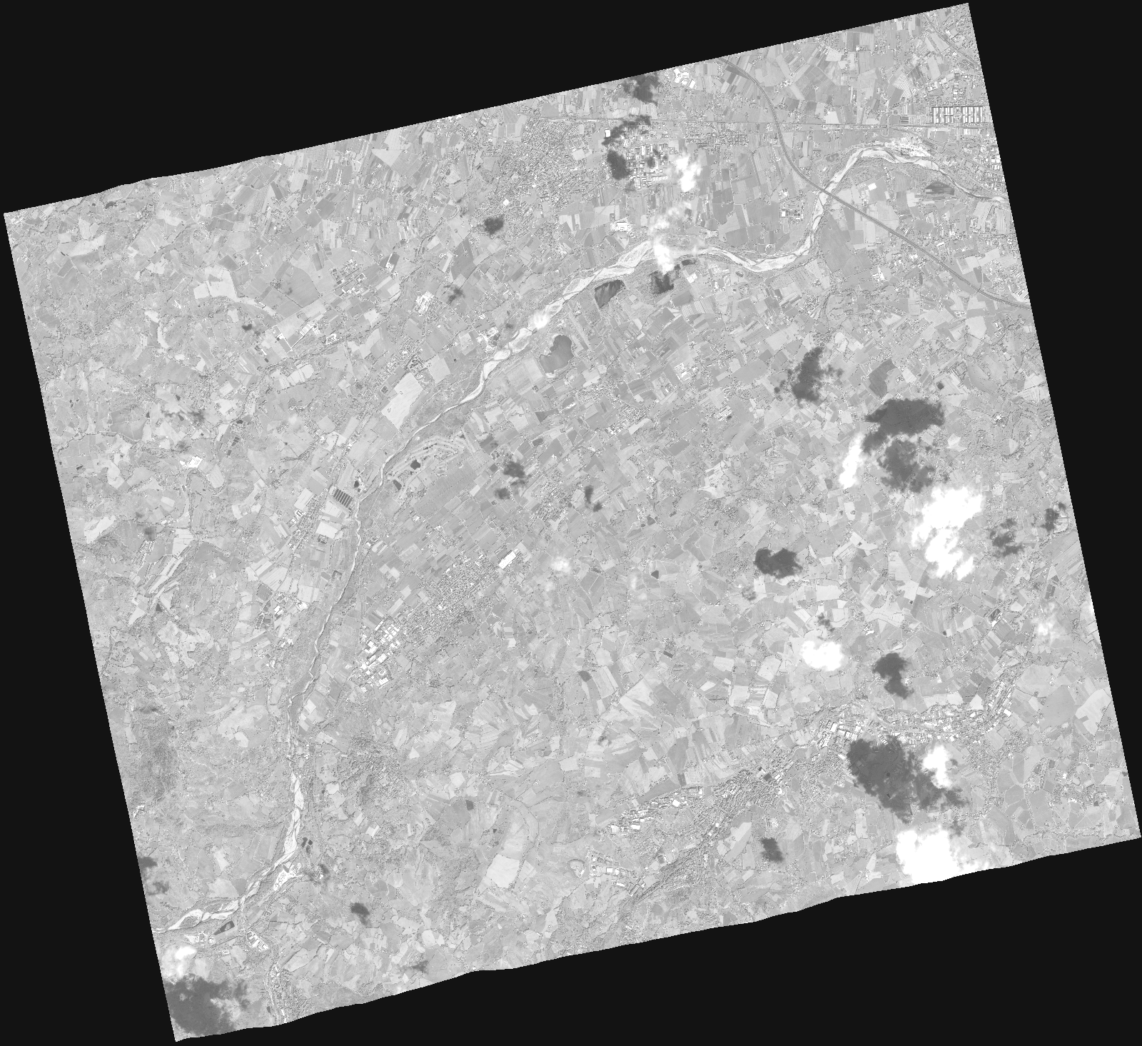
Start Date | 2020-06-20T09:43:13Z |
Stop Date | 2020-06-20T09:43:19Z |
Availability Time | 2020-06-20T09:43:19Z |
Instrument Short Name | HiRAIS |
Sensor Type | OPTICAL |
Operational mode | PM4 |
Resolution | |
Orbit | 32533 |
Satellite | GEOSAT-2 |
Product type | HRA_PM4_1C |
Orbit Direction | ASCENDING |
Scene Centre Longitude | |
Scene Centre Latitude | |
Illumination Azimuth Angle | 131.425633681 |
Illumination Elevation Angle | 62.6241 |
Footprint | 43.975894 12.564756 44.087313 12.527864 44.054901 12.349028 43.944546 12.385978 43.975894 12.564756 |
Product Size | 401299851 |
Cloud Cover Percentage | 0 |
Acquisition Type | NOMINAL |
Bounding Box | 44.087313 12.349028 43.944546 12.349028 43.944546 12.564756 44.087313 12.564756 44.087313 12.349028 |
Original name | DE2_PM4_L1C_000000_20200620T094313_20200620T094319_DE2_32533_DE02.zip |