Static Map Catalogue - Full Metadata Record
Collection GEOSAT
GEOSAT ESA archive. More details here.
DE2_OPER_HRA_PM4_1C_20200620T094129_N44-016_E012-459_0001
Download Product | Browse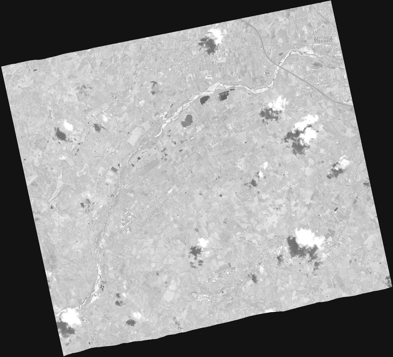
Start Date | 2020-06-20T09:41:29Z |
Stop Date | 2020-06-20T09:41:35Z |
Availability Time | 2020-06-20T09:41:35Z |
Instrument Short Name | HiRAIS |
Sensor Type | OPTICAL |
Operational mode | PM4 |
Resolution | |
Orbit | 32533 |
Satellite | GEOSAT-2 |
Product type | HRA_PM4_1C |
Orbit Direction | ASCENDING |
Scene Centre Longitude | |
Scene Centre Latitude | |
Illumination Azimuth Angle | 130.765883711 |
Illumination Elevation Angle | 62.3649 |
Footprint | 43.974759 12.568299 44.088017 12.5298 44.057689 12.350045 43.944019 12.38919 43.974759 12.568299 |
Product Size | 411592697 |
Cloud Cover Percentage | 0 |
Acquisition Type | NOMINAL |
Bounding Box | 44.088017 12.350045 43.944019 12.350045 43.944019 12.568299 44.088017 12.568299 44.088017 12.350045 |
Original name | DE2_PM4_L1C_000000_20200620T094129_20200620T094135_DE2_32533_DE02.zip |