Static Map Catalogue - Full Metadata Record
Collection GEOSAT
GEOSAT ESA archive. More details here.
DE2_OPER_HRA_PM4_1C_20200521T095517_N44-011_E012-449_0001
Download Product | Browse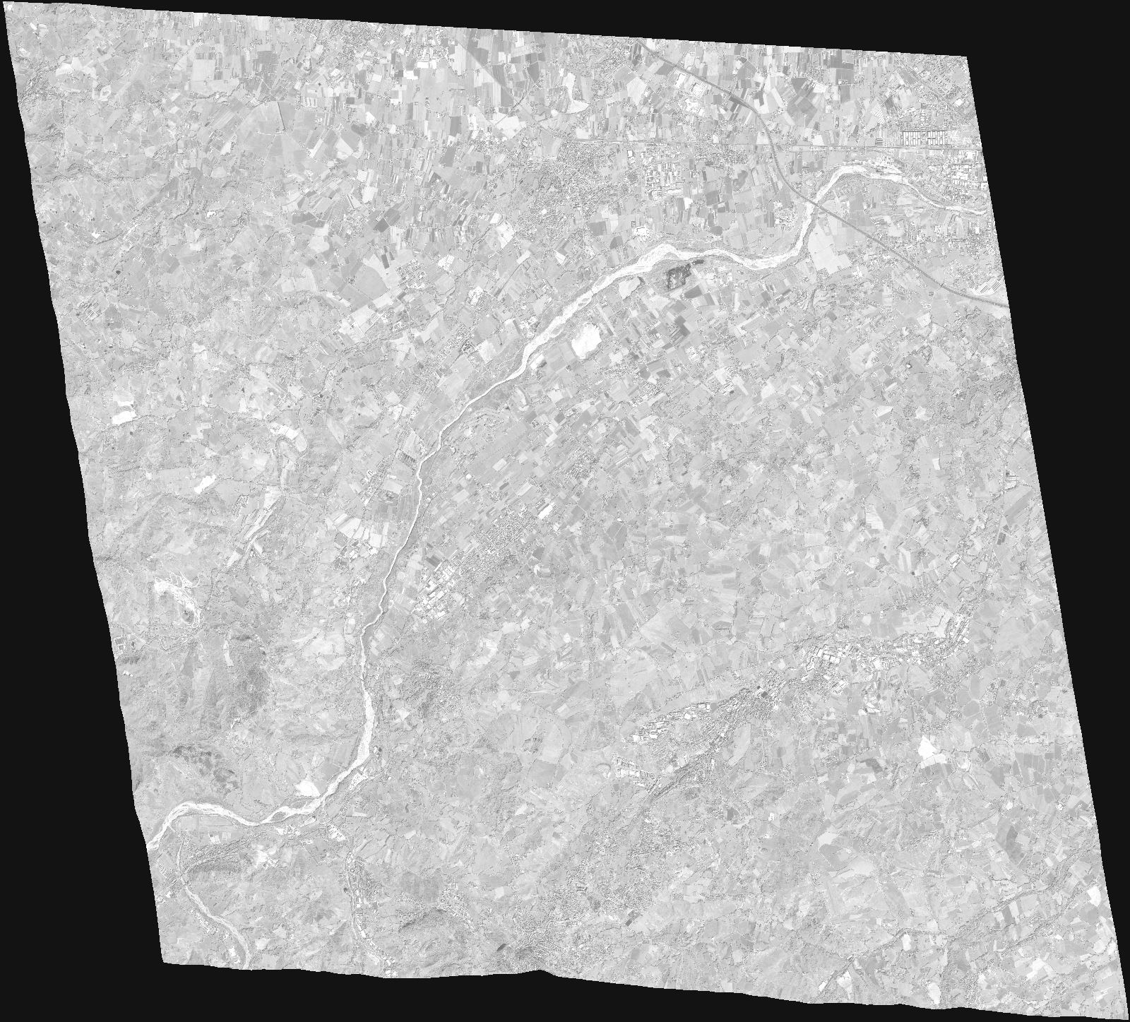
Start Date | 2020-05-21T09:55:17Z |
Stop Date | 2020-05-21T09:55:22Z |
Availability Time | 2020-05-21T09:55:22Z |
Instrument Short Name | HiRAIS |
Sensor Type | OPTICAL |
Operational mode | PM4 |
Resolution | |
Orbit | 32088 |
Satellite | GEOSAT-2 |
Product type | HRA_PM4_1C |
Orbit Direction | ASCENDING |
Scene Centre Longitude | |
Scene Centre Latitude | |
Illumination Azimuth Angle | 142.183973438 |
Illumination Elevation Angle | 62.0984 |
Footprint | 43.932277 12.577235 44.085344 12.535323 44.089621 12.320716 43.936633 12.363091 43.932277 12.577235 |
Product Size | 610619495 |
Cloud Cover Percentage | 0 |
Acquisition Type | NOMINAL |
Bounding Box | 44.089621 12.320716 43.932277 12.320716 43.932277 12.577235 44.089621 12.577235 44.089621 12.320716 |
Original name | DE2_PM4_L1C_000000_20200521T095517_20200521T095522_DE2_32088_DE02.zip |