Static Map Catalogue - Full Metadata Record
Collection GEOSAT
GEOSAT ESA archive. More details here.
DE2_OPER_HRA_PM4_1C_20200521T095332_N44-011_E012-448_0001
Download Product | Browse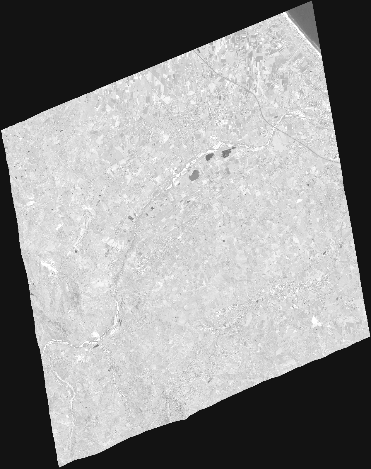
Start Date | 2020-05-21T09:53:32Z |
Stop Date | 2020-05-21T09:53:37Z |
Availability Time | 2020-05-21T09:53:37Z |
Instrument Short Name | HiRAIS |
Sensor Type | OPTICAL |
Operational mode | PM4 |
Resolution | |
Orbit | 32088 |
Satellite | GEOSAT-2 |
Product type | HRA_PM4_1C |
Orbit Direction | ASCENDING |
Scene Centre Longitude | |
Scene Centre Latitude | |
Illumination Azimuth Angle | 141.42056612 |
Illumination Elevation Angle | 61.908 |
Footprint | 43.967457 12.565916 44.119241 12.523411 44.056418 12.330839 43.904375 12.373733 43.967457 12.565916 |
Product Size | 599815118 |
Cloud Cover Percentage | 0 |
Acquisition Type | NOMINAL |
Bounding Box | 44.119241 12.330839 43.904375 12.330839 43.904375 12.565916 44.119241 12.565916 44.119241 12.330839 |
Original name | DE2_PM4_L1C_000000_20200521T095332_20200521T095337_DE2_32088_DE02.zip |