Static Map Catalogue - Full Metadata Record
Collection GEOSAT
GEOSAT ESA archive. More details here.
DE2_OPER_HRA_PM4_1C_20210721T094037_N41-778_E012-318_0001
Download Product | Browse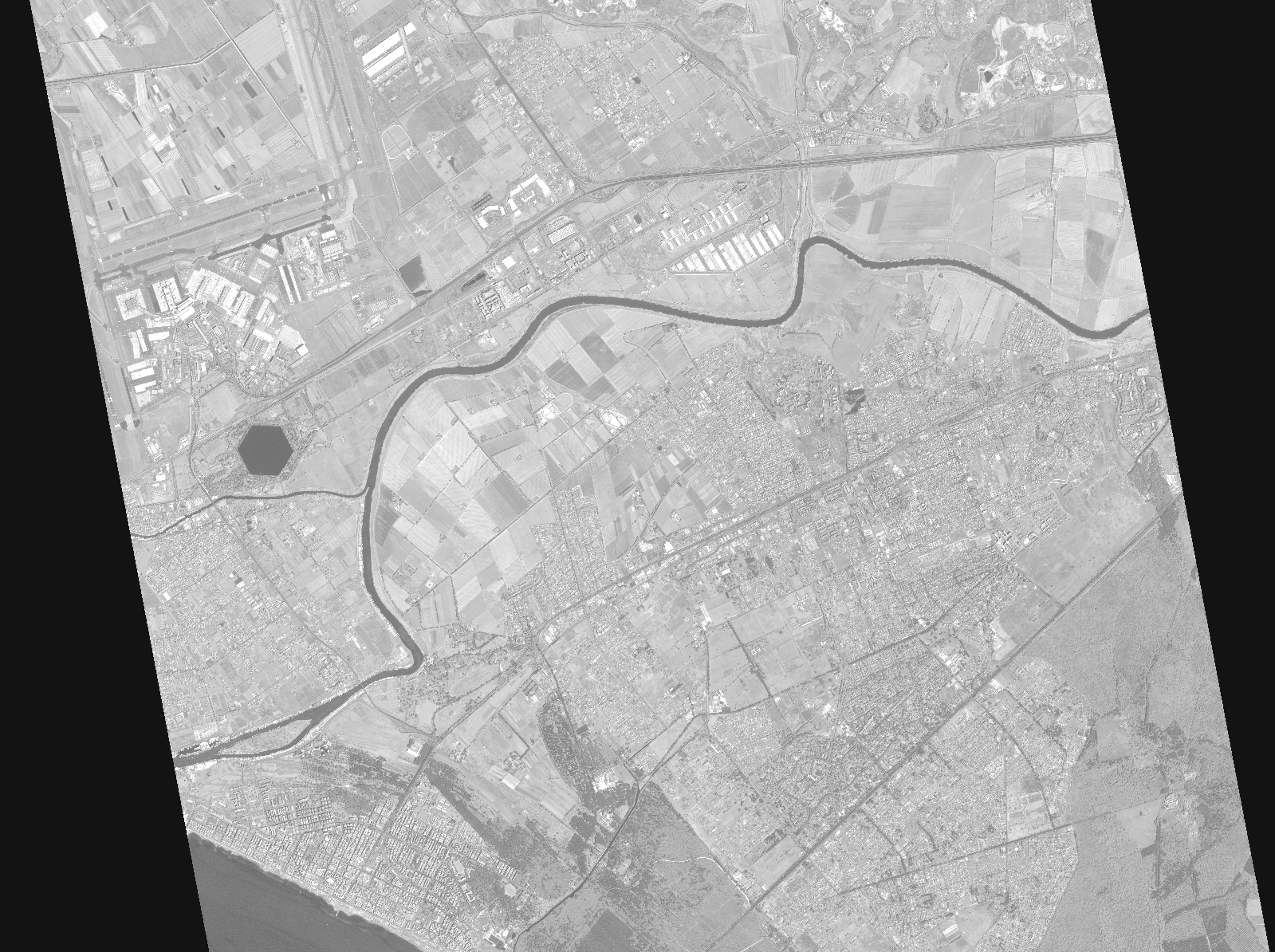
Start Date | 2021-07-21T09:40:37Z |
Stop Date | 2021-07-21T09:40:42Z |
Availability Time | 2021-07-21T09:40:42Z |
Instrument Short Name | HiRAIS |
Sensor Type | OPTICAL |
Operational mode | PM4 |
Resolution | |
Orbit | 38409 |
Satellite | GEOSAT-2 |
Product type | HRA_PM4_1C |
Orbit Direction | ASCENDING |
Scene Centre Longitude | |
Scene Centre Latitude | |
Illumination Azimuth Angle | 129.0755339 |
Illumination Elevation Angle | 60.488 |
Footprint | 41.727133 12.416375 41.834021 12.412079 41.829545 12.220669 41.722675 12.225283 41.727133 12.416375 |
Product Size | 596318087 |
Cloud Cover Percentage | -1 |
Acquisition Type | NOMINAL |
Bounding Box | 41.834021 12.220669 41.722675 12.220669 41.722675 12.416375 41.834021 12.416375 41.834021 12.220669 |
Original name | DE2_PM4_L1C_000000_20210721T094037_20210721T094042_DE2_38409_DE02.zip |