Static Map Catalogue - Full Metadata Record
Collection GEOSAT
GEOSAT ESA archive. More details here.
DE2_OPER_HRA_PM4_1C_20170127T095017_N41-768_E012-279_0001
Download Product | Browse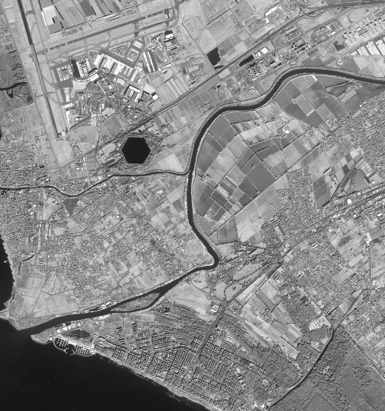
Start Date | 2017-01-27T09:50:17Z |
Stop Date | 2017-01-27T09:50:21Z |
Availability Time | 2017-01-27T09:50:21Z |
Instrument Short Name | HiRAIS |
Sensor Type | OPTICAL |
Operational mode | PM4 |
Resolution | |
Orbit | 14134 |
Satellite | GEOSAT-2 |
Product type | HRA_PM4_1C |
Orbit Direction | ASCENDING |
Scene Centre Longitude | |
Scene Centre Latitude | |
Illumination Azimuth Angle | 155.245250023 |
Illumination Elevation Angle | 26.186500000000002 |
Footprint | 41.726339 12.335512 41.813462 12.331902 41.810874 12.222813 41.723759 12.22657 41.726339 12.335512 |
Product Size | 310992420 |
Cloud Cover Percentage | -1 |
Acquisition Type | NOMINAL |
Bounding Box | 41.813462 12.222813 41.723759 12.222813 41.723759 12.335512 41.813462 12.335512 41.813462 12.222813 |
Original name | DE2_PM4_L1C_000000_20170127T095017_20170127T095021_DE2_14134_DE02.zip |