Static Map Catalogue - Full Metadata Record
Collection GEOSAT
GEOSAT ESA archive. More details here.
DE2_OPER_HRA_PSH_1C_20200106T094216_N48-339_E011-815_0000
Download Product | Browse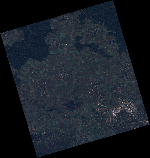
Start Date | 2020-01-06T09:42:16Z |
Stop Date | 2020-01-06T09:42:19Z |
Availability Time | 2020-01-06T09:42:19Z |
Instrument Short Name | HiRAIS |
Sensor Type | OPTICAL |
Operational mode | PSH |
Resolution | 0.75 |
Orbit | 30070 |
Satellite | GEOSAT-2 |
Product type | HRA_PSH_1C |
Orbit Direction | ASCENDING |
Scene Centre Longitude | E011 |
Scene Centre Latitude | N48 |
Illumination Azimuth Angle | 156.616283459 |
Illumination Elevation Angle | 15.369200000000006 |
Footprint | 48.862411 11.231932 48.891492 11.399107 48.769162 11.447848 48.740081 11.280673 48.862411 11.231932 |
Product Size | 1948334179 |
Cloud Cover Percentage | 0 |
Acquisition Type | NOMINAL |
Bounding Box | 48.891492 11.231932 48.740081 11.231932 48.740081 11.447848 48.891492 11.447848 |
Original name | DE2_PSH_L1C_000000_20200106T094216_20200106T094219_DE2_30070_0C4A |