Static Map Catalogue - Full Metadata Record
Collection GEOSAT
GEOSAT ESA archive. More details here.
DE2_OPER_HRA_PSH_1C_20200106T094214_N48-384_E011-704_0000
Download Product | Browse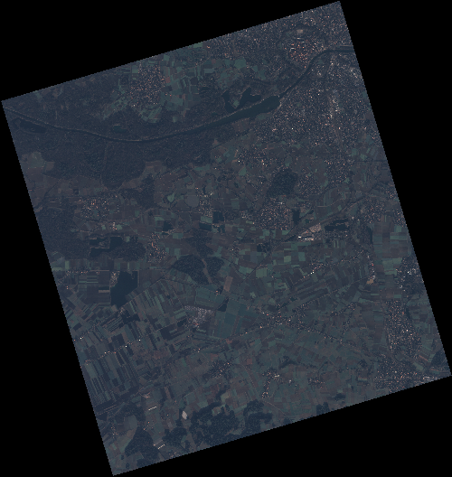
Start Date | 2020-01-06T09:42:14Z |
Stop Date | 2020-01-06T09:42:17Z |
Availability Time | 2020-01-06T09:42:17Z |
Instrument Short Name | HiRAIS |
Sensor Type | OPTICAL |
Operational mode | PSH |
Resolution | 0.75 |
Orbit | 30070 |
Satellite | GEOSAT-2 |
Product type | HRA_PSH_1C |
Orbit Direction | ASCENDING |
Scene Centre Longitude | E011 |
Scene Centre Latitude | N48 |
Illumination Azimuth Angle | 156.637939851 |
Illumination Elevation Angle | 15.480699999999999 |
Footprint | 48.751411 11.276387 48.780460 11.443148 48.658026 11.492132 48.628978 11.325370 48.751411 11.276387 |
Product Size | 1935872769 |
Cloud Cover Percentage | 0 |
Acquisition Type | NOMINAL |
Bounding Box | 48.78046 11.276387 48.628978 11.276387 48.628978 11.492132 48.78046 11.492132 |
Original name | DE2_PSH_L1C_000000_20200106T094214_20200106T094217_DE2_30070_7E83 |