Static Map Catalogue - Full Metadata Record
Collection GEOSAT
GEOSAT ESA archive. More details here.
DE2_OPER_HRA_PSH_1C_20200408T095529_N45-730_E009-013_0000
Download Product | Browse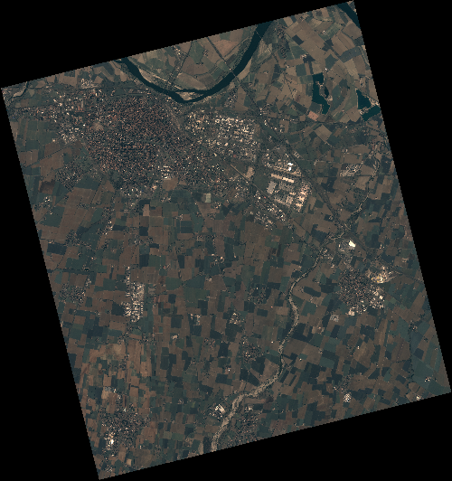
Start Date | 2020-04-08T09:55:29Z |
Stop Date | 2020-04-08T09:55:32Z |
Availability Time | 2020-04-08T09:55:32Z |
Instrument Short Name | HiRAIS |
Sensor Type | OPTICAL |
Operational mode | PSH |
Resolution | 0.75 |
Orbit | 31450 |
Satellite | GEOSAT-2 |
Product type | HRA_PSH_1C |
Orbit Direction | ASCENDING |
Scene Centre Longitude | E009 |
Scene Centre Latitude | N45 |
Illumination Azimuth Angle | 146.612222806 |
Illumination Elevation Angle | 47.9292 |
Footprint | 45.061974 9.631556 45.088444 9.787581 44.965376 9.829271 44.938907 9.673246 45.061974 9.631556 |
Product Size | 2167596010 |
Cloud Cover Percentage | 0 |
Acquisition Type | NOMINAL |
Bounding Box | 45.088444 9.631556 44.938907 9.631556 44.938907 9.829271 45.088444 9.829271 |
Original name | DE2_PSH_L1C_000000_20200408T095529_20200408T095532_DE2_31450_3C16 |